
landmark
Berat (City of a Thousand Windows)
A UNESCO-listed Ottoman town famed for its rows of white houses with large windows climbing the hillside, crowned by a still-inhabited castle.
27 km · about 30 min drive
Elbasan County, Albania · Europe
Gramsh is worth a stop: 15 minutes from Tunjë, 45km from Osum Canyon.
Gramsh is in Elbasan County, Albania, with about 12,000 people. You drive on the right here. The nearest town is Tunjë, about 7 km away.
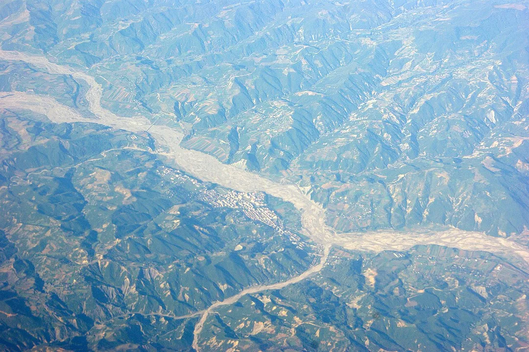
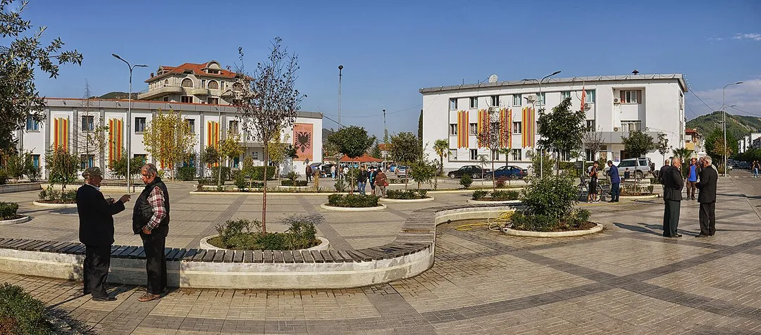
Gramsh (Albanian definite form: Gramshi) is a town and a municipality in Elbasan County, central Albania. The municipality was formed at the 2015 local government reform by the merger of the former municipalities Gramsh, Kodovjat, Kukur, Kushovë, Lenie, Pishaj, Poroçan, Skënderbegas, Sult and Tunjë, that becameRead more
municipal units. The seat of the municipality is the town Gramsh. The total population is 16,533 as of the 2011 census, in a total area of 739.75 km2. The population of the former municipality as of the 2023 census is 6,786.
Compare prices across Booking.com, Airbnb, Expedia, and more. Select your dates to see availability.
Pick your must-haves once: provider links open pre-filtered. Each filter lists which sites it applies to.
Compare before you book!
Prices can vary significantly between platforms. We recommend checking at least 2-3 sites to find the best deal for your stay in Gramsh.
Discover famous landmarks, scenic roads, and more near Gramsh.
Within an hour or so of Gramsh: Berat (City of a Thousand Windows) (27 km), Bogovë Waterfall (34 km), Lin (44 km), Osum Canyon (45 km).
The nearest famous roads are Galičica Pass Road, Albanian Riviera Coastal Road and Katara Pass.
Gramsh is in Elbasan County, Albania, about 7 km from Tunjë.
Road trip
Add it as a stop and the planner works out the driving, the nights and what's worth seeing on the way.
Start planningSwipe through places to go
Places within a drive of Gramsh. Keep the ones you like and add them to your trip.
8 notable places within an hour's drive.
landmark
A UNESCO-listed Ottoman town famed for its rows of white houses with large windows climbing the hillside, crowned by a still-inhabited castle.
27 km · about 30 min drive
waterfall
A waterfall in a wooded gorge above the village of Bogovë in the Osum valley, reached by a short walk from a village car park.
34 km · about 40 min drive
landmark
A fishing village on a peninsula jutting into Lake Ohrid on the Albanian shore, its lanes hung with drying fishnets and vines; a hilltop early-Christian basilica keeps 6th-century floor mosaics. Part of the lake's UNESCO listing.
44 km · about 50 min drive
natural wonder
A 13 km slot canyon carved by the Osum river near Çorovodë, with sheer 80 m walls, waterfalls and rim-side viewpoints along the mountain road south of Berat.
45 km · about 50 min drive
cathedral
A 10th-century monastery on a headland at the southern end of Lake Ohrid near the Albanian border, with springs, boats and a large car park.
47 km · about 55 min drive
natural wonder
A series of karst springs and waterfalls in a wooded gorge above the village of Vevčani, with walkways and parking at the village edge.
54 km · about 60 min drive
mountain pass
A serpentine road climbs over the Galičica massif between Lakes Ohrid and Prespa, topping out near 1,600 m with rare twin-lake panoramas inside Galičica National Park.
55 km · about 65 min drive
national park
A mountain park on the ridge between Lakes Ohrid and Prespa, crossed by a paved road with viewpoints over both lakes at once.
56 km · about 65 min drive
3 named roads, passes and coastal drives within 150km.
Other places to explore near Gramsh.
Your trip starts here
Pick the days, drop in the stops, and share it with whoever's coming.