mountain pass
Daegwallyeong Pass
Historic 832 m pass on the old Yeongdong road where the Taebaek Mountains drop to the East Sea, coiling above Gangneung past windmill-topped sheep ranches. Korea's classic mountain drive.
13 km · about 25 min drive
Gangwon-do, South Korea · Asia
Gangneung is worth a stop: 5 minutes from Gujeong, 49km from Hwanseon Cave.
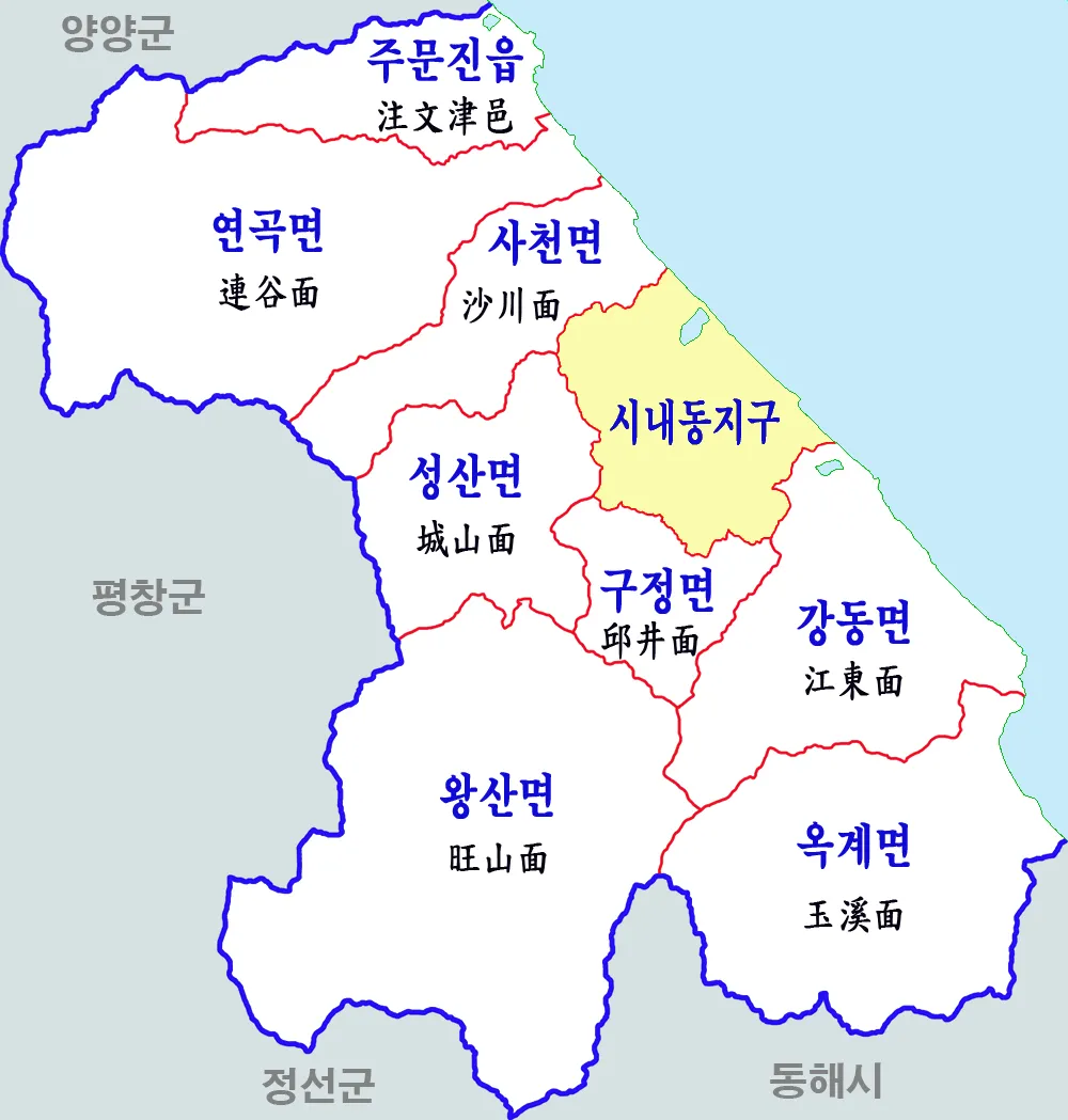
Gangneung is in Gangwon-do, South Korea, with about 210,000 people. You drive on the right here. The nearest town is Gujeong, about 4 km away.
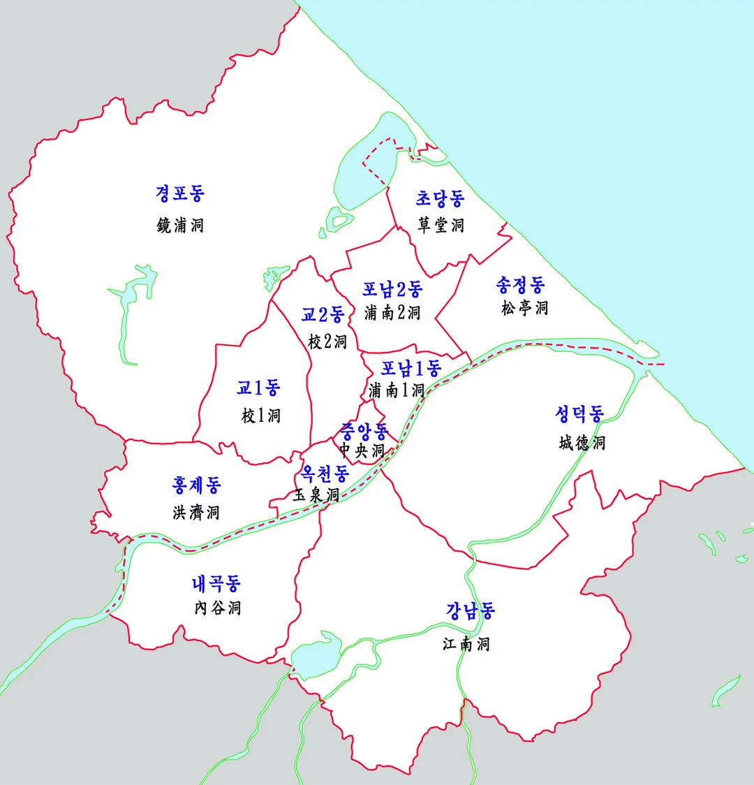
Gangneung (Korean: 강릉; Korean pronunciation: [kaŋ.nɯŋ]) is a municipal city in the South Korean state of Gangwon, located on the east coast of South Korea. It has a population of 213,658 (as of 2017). Gangneung is the economic centre of the Yeongdong region of Gangwon State. It has many tourist attractions, such asRead more
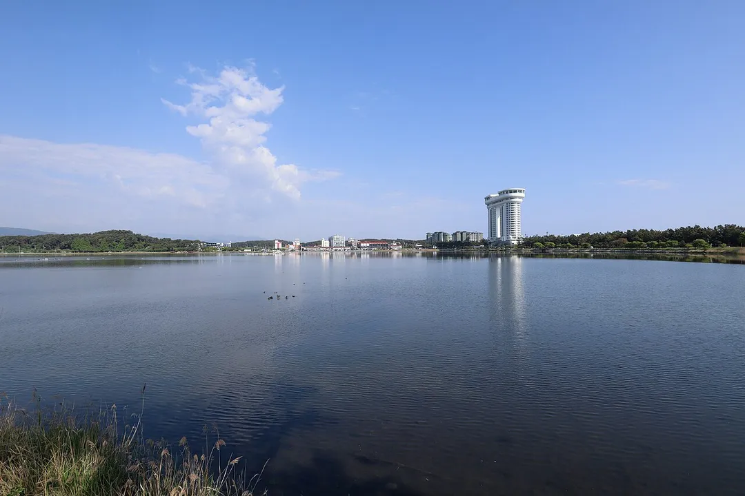
Jeongdongjin, a very popular area for watching the sunrise, and Gyeongpo Beach. The city hosted all the ice events for the 2018 Winter Olympics and the 2024 Winter Youth Olympics.
Compare prices across Booking.com, Airbnb, Expedia, and more. Select your dates to see availability.
Pick your must-haves once: provider links open pre-filtered. Each filter lists which sites it applies to.
Compare before you book!
Prices can vary significantly between platforms. We recommend checking at least 2-3 sites to find the best deal for your stay in Gangneung.
Discover famous landmarks, scenic roads, and more near Gangneung.
Within an hour or so of Gangneung: Daegwallyeong Pass (13 km), Hwanseon Cave (49 km), Seoraksan National Park (54 km), Hangyeryeong Pass (56 km).
The nearest famous roads are Daegwallyeong Pass, Hangyeryeong Pass and Misiryeong Pass.
Gangneung is in Gangwon-do, South Korea, about 4 km from Gujeong.
Road trip
Add it as a stop and the planner works out the driving, the nights and what's worth seeing on the way.
Start planningSwipe through places to go
Places within a drive of Gangneung. Keep the ones you like and add them to your trip.
Essential numbers in South Korea
Tourist helpline (English): 1330.
Full driving guide for South Korea5 notable places within an hour's drive.
mountain pass
Historic 832 m pass on the old Yeongdong road where the Taebaek Mountains drop to the East Sea, coiling above Gangneung past windmill-topped sheep ranches. Korea's classic mountain drive.
13 km · about 25 min drive
natural wonder
One of Asia's largest limestone caves, with 6.5 km of passages, underground waterfalls and vast chambers. A steep 1.3 km climb or a monorail carries visitors from the car park to the entrance.
49 km · about 55 min drive
national park
South Korea's most spectacular national park with jagged granite peaks, autumn foliage, Buddhist temples, and the famous Ulsanbawi Rock.
54 km · about 65 min drive
mountain pass
A 1,004 m pass on National Route 44 carrying the road over the Taebaek range into Seoraksan, with long sweeping curves and a summit rest area looking down the Osaek valley.
56 km · about 65 min drive
racetrack
Mountain racetrack and resort circuit in Gangwon province, about 120km east of Seoul, hosting Korean domestic championships and track days.
58 km · about 65 min drive
Other places to explore near Gangneung.
Your trip starts here
Pick the days, drop in the stops, and share it with whoever's coming.