
ancient ruins
Apollonia
A large Greek and Roman city site near Fier with a restored bouleuterion and an adjoining monastery museum, with on-site parking.
7 km · about 15 min drive
Fier County, Albania · Europe
Fier is worth a stop: 5 minutes from Mbrostar-Urë, 7km from Apollonia.
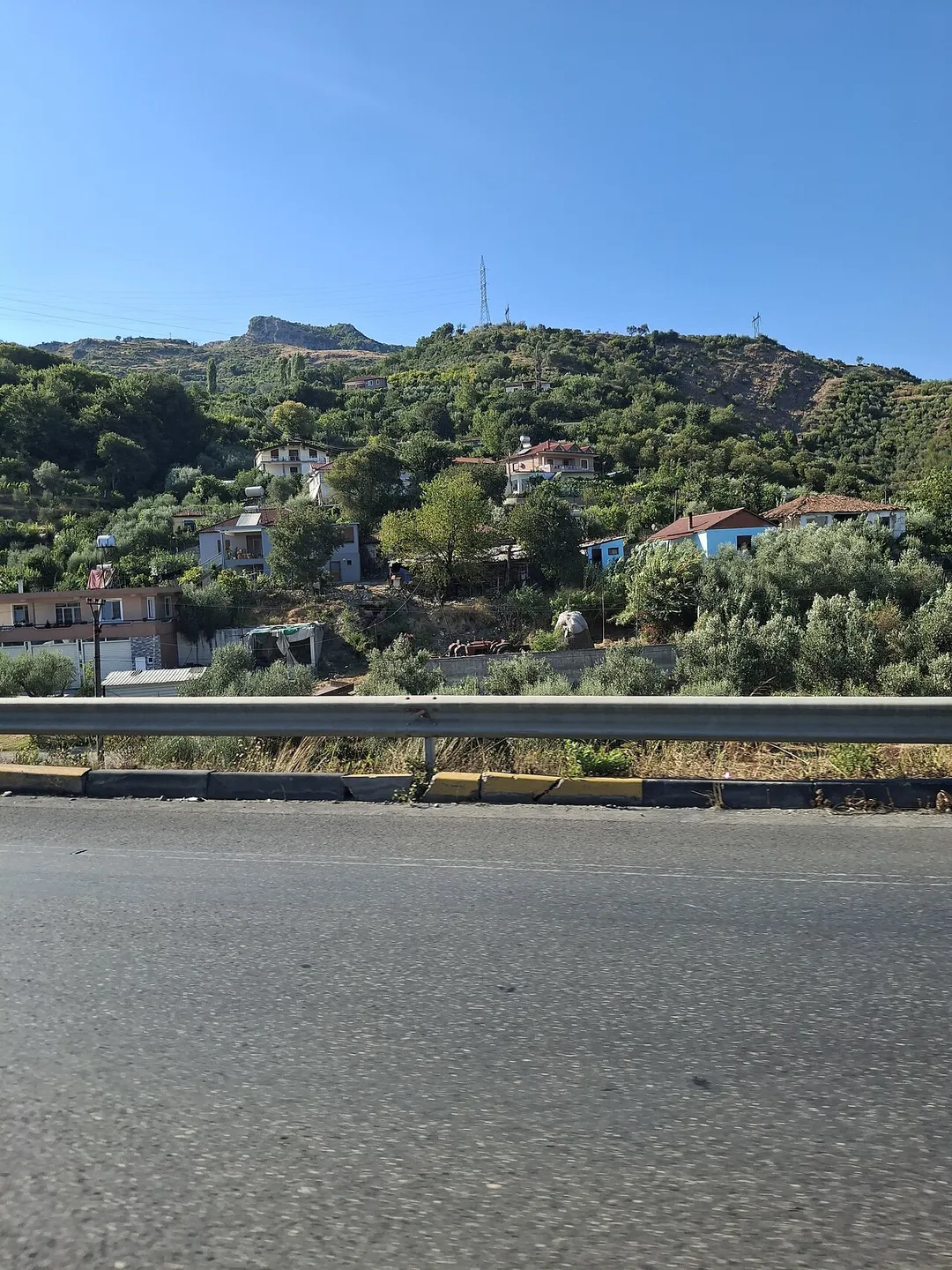
Fier is in Fier County, Albania, with about 56,000 people. You drive on the right here. The nearest town is Mbrostar-Urë, about 4 km away.
Fier (pronounced [fiˈɛɾ]; Albanian definite form: Fieri, Latin: Fierum) is the seventh most populous city of the Republic of Albania and seat of Fier County and Fier Municipality. It is situated on the bank of Gjanica River in the Myzeqe Plain between the Seman in the north, the Vjosë in the south and the foothills ofRead more
the Mallakastra Mountains in the southeast. Fier experiences a seasonal Mediterranean climate affected by its proximity to the Adriatic Sea in the west.
Fier was founded in the 19th century by the Vrioni family and officially in 1864 by Omer Pasha Vrioni II, the father of Kahreman Pasha Vrioni (1889-1955). It is 7 km (4 mi) from the ruins of the ancient settlement of Apollonia which was founded in 588 BCE by Ancient Greek colonists from Corfu and Corinth, on a site occupied by Illyrian tribes.
Fier is an important terminus in southwestern Albania and is served by the A2 motorway and SH 4 highway, forming a north–south corridor in Albania and part of the Adriatic–Ionian motorway.
Compare prices across Booking.com, Airbnb, Expedia, and more. Select your dates to see availability.
Pick your must-haves once: provider links open pre-filtered. Each filter lists which sites it applies to.
Compare before you book!
Prices can vary significantly between platforms. We recommend checking at least 2-3 sites to find the best deal for your stay in Fier.
Discover famous landmarks, scenic roads, and more near Fier.
Within an hour or so of Fier: Apollonia (7 km), Zvërnec Monastery (27 km), Berat (City of a Thousand Windows) (33 km), Bogovë Waterfall (54 km).
The nearest famous roads are Albanian Riviera Coastal Road, Galičica Pass Road and Otranto to Leuca Coastal Road.
Fier is in Fier County, Albania, about 4 km from Mbrostar-Urë.
Road trip
Add it as a stop and the planner works out the driving, the nights and what's worth seeing on the way.
Start planningSwipe through places to go
Places within a drive of Fier. Keep the ones you like and add them to your trip.
5 notable places within an hour's drive.
ancient ruins
A large Greek and Roman city site near Fier with a restored bouleuterion and an adjoining monastery museum, with on-site parking.
7 km · about 15 min drive
cathedral
A tiny 13th-14th-century Byzantine monastery on a pine-covered islet in the Narta Lagoon north of Vlorë, reached by a long wooden footbridge over shallow water frequented by flamingos.
27 km · about 30 min drive
landmark
A UNESCO-listed Ottoman town famed for its rows of white houses with large windows climbing the hillside, crowned by a still-inhabited castle.
33 km · about 40 min drive
waterfall
A waterfall in a wooded gorge above the village of Bogovë in the Osum valley, reached by a short walk from a village car park.
54 km · about 65 min drive
scenic viewpoint
A dramatic mountain pass along the Albanian Riviera at 1,027 meters, offering jaw-dropping aerial views of the Ionian coastline far below.
59 km · about 70 min drive
3 named roads, passes and coastal drives within 150km.
Other places to explore near Fier.
Your trip starts here
Pick the days, drop in the stops, and share it with whoever's coming.