
cathedral
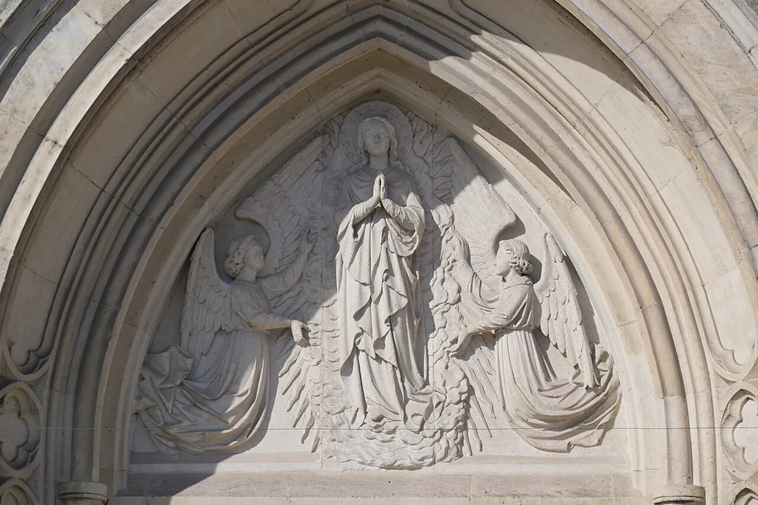
Cathedral of Our Lady, Antwerp
Belgium's tallest Gothic building housing masterpieces by Rubens, with a UNESCO-listed 123-metre tower visible across Flanders.
22 km · about 25 min drive
Flanders, Belgium · Europe
De Klinge works well as a base: 5 minutes from Hulst, 34km from Gravensteen.
De Klinge is in Flanders, Belgium, with about 3,800 people. You drive on the right here. The nearest town is Hulst, about 4 km away.
De Klinge (Dutch pronunciation: [də ˈklɪŋə]) is a Belgian town and part of the municipality of Sint-Gillis-Waas in the province of East Flanders (Oost-Vlaanderen), is located on the border with the Netherlands province of Zeeland and within the non-administrative region known as the Waasland or the Land van Waas. OnRead more
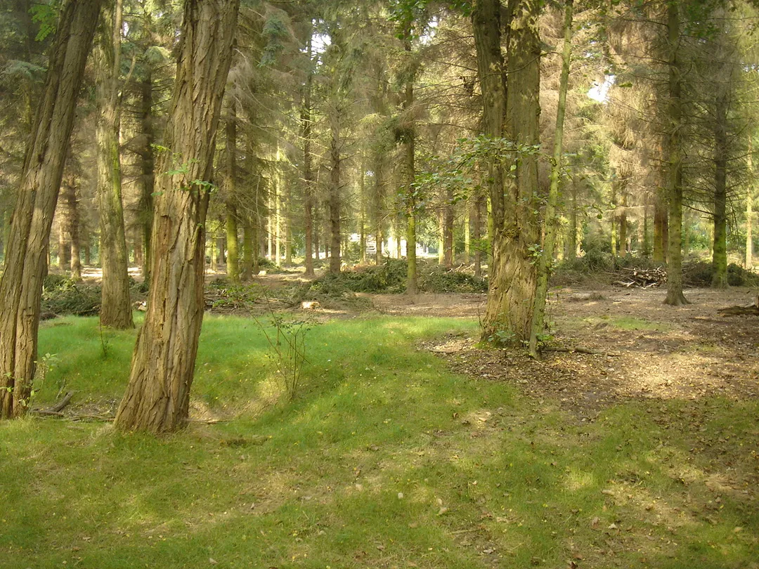
the Dutch side of the border the town is called Clinge and is part of the municipality of Hulst. Sint-Niklaas is 10 kilometres south of De Klinge. The nearest large Belgian city is Antwerp (Antwerpen) to the east. The town is bordered by many forests, including the Stropersbos (the Stroper Forest), which are excellent for cycling and walking.
The dialect of Dutch spoken in De Klinge is called Klings, an East Flemish dialect. In the past there were several makers of clogs (wooden shoes) or klompen as they are called in Dutch. A statue called De Klomp stands in the middle of the round-about on the road from Sint-Gillis-Waas where the Bergstraat, Hogenakkerstraat, and Klingedijkstraat meet.
Every July a kermis festival, called the Klingse Kalsei Braderij is held on the main cobblestone street, Klingedorp. The town also has an abbey beer called Klingse Kalsei which is available during this festival and features the Klingedorpstraat on its label. This beer is not actually brewed in De Klinge but in Ertvelde by Van Steenberghe Brewery.
Compare prices across Booking.com, Airbnb, Expedia, and more. Select your dates to see availability.
Pick your must-haves once: provider links open pre-filtered. Each filter lists which sites it applies to.
Compare before you book!
Prices can vary significantly between platforms. We recommend checking at least 2-3 sites to find the best deal for your stay in De Klinge.
Discover famous landmarks, scenic roads, and more near De Klinge.
Within an hour or so of De Klinge: Cathedral of Our Lady, Antwerp (22 km), Plantin-Moretus Museum (22 km), Antwerpen-Centraal (23 km), Antwerp Zoo (24 km).
The nearest famous roads are Brouwersdam, Koninklijke Baan Coast Road and Chimay Street Circuit.
De Klinge is in Flanders, Belgium, about 4 km from Hulst.
Road trip
Add it as a stop and the planner works out the driving, the nights and what's worth seeing on the way.
Start planningSwipe through places to go
Places within a drive of De Klinge. Keep the ones you like and add them to your trip.
8 notable places within an hour's drive.
cathedral
Belgium's tallest Gothic building housing masterpieces by Rubens, with a UNESCO-listed 123-metre tower visible across Flanders.
22 km · about 25 min drive
museum
The world's oldest surviving printing house, run by the Plantin family in Antwerp from 1576 to 1867 and the only museum on the UNESCO World Heritage list: complete with the two oldest printing presses in existence and a Gutenberg Bible.
22 km · about 25 min drive
landmark
A cathedral-like railway station of marble, gilt and glass, repeatedly voted one of the most beautiful in the world.
23 km · about 25 min drive
landmark
Historic Belgian zoo next to the central train station, one of the oldest in the world, founded in 1843.
24 km · about 25 min drive
tunnel
At 6.6 km the longest road tunnel in the Netherlands, diving under the busy Western Scheldt shipping lane to link Zeeland with Zeelandic Flanders since 2003.
24 km · about 25 min drive
tunnel
Tolled 6.6-kilometre road tunnel under the Western Scheldt linking Zeelandic Flanders to Zuid-Beveland, replacing two ferries.
24 km · about 25 min drive
landmark
Vibrant medieval Flemish city with stunning canal-side architecture, the Gravensteen castle, and the famous Ghent Altarpiece.
34 km · about 40 min drive
castle
A grim moated stone castle of the Counts of Flanders rising straight from the canals in the centre of Ghent.
34 km · about 40 min drive
April to October
Other places to explore near De Klinge.
Your trip starts here
Pick the days, drop in the stops, and share it with whoever's coming.