PYRTPlan Your Road Trips
Create TripCommunityMerchandise
PYRTPlan Your Road Trips
Create TripCommunityMerchandise
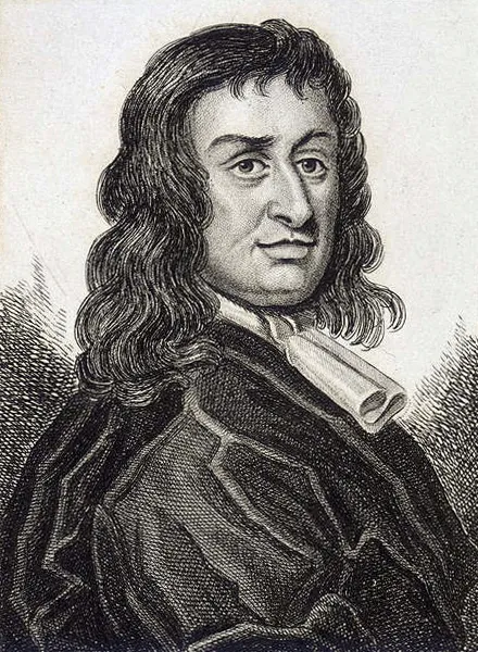
Illustration of Colonel Thomas Blood
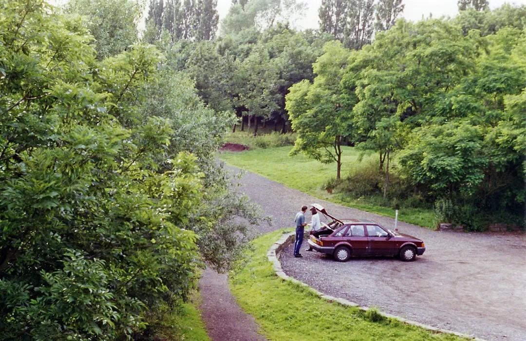
Site of Culcheth station, 1996.
View westward, towards Wigan and St Helens: ex-Great Central Glazebrook - Wigan (Central)/St Helens (Central) branches. The branch to St Helens was closed 3/3/52, but the Wigan branch remained for goods traffic until 26/4/68, the passenger service having ceased 2/11/64 and this station was closed. No trace whatever seems to survive.
Collectie / Archief : Fotocollectie Anefo
Reportage / Serie : [ onbekend ]
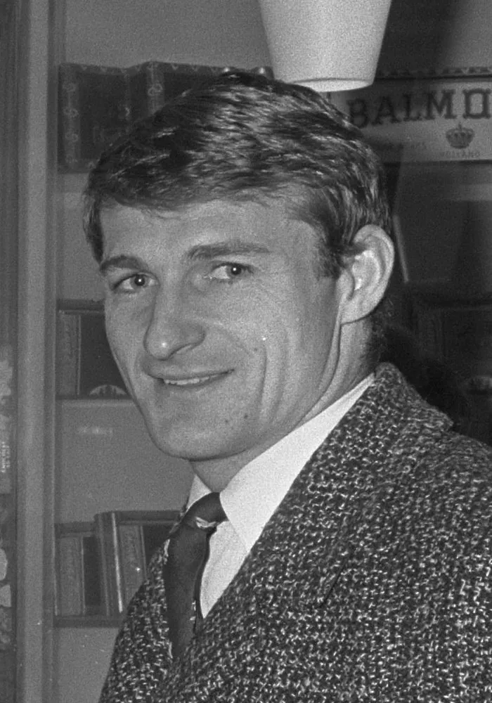
Beschrijving : Liverpool-spelers in Hilton, St. John (links) en Roger Hunt kopen kaarten voor thuis
Datum : 6 december 1966
Trefwoorden : sport, voetbal
Persoonsnaam : HILTON
Fotograaf : Koch, Eric / Anefo
Auteursrechthebbende : Nationaal Archief 
Materiaalsoort : Negatief (zwart/wit)
Nummer archiefinventaris : bekijk toegang 2.24.01.05

Bestanddeelnummer : 919-8539
Photo by G. Scott
Destinations
Home›Destinations›Culcheth
EuropeUnited KingdomEngland

Culcheth

England, United Kingdom · Europe

About Culcheth

Culcheth is worth a stop: 10 minutes from Leigh, 40km from Kinder Downfall.

Culcheth is in England, United Kingdom, with about 6,700 people. You drive on the left here. The nearest town is Leigh, about 5 km away.

Culcheth is a village in the civil parish of Culcheth and Glazebury, in the Warrington district, in Cheshire, England, six miles (10 km) north-east of Warrington. Lying within the boundaries of the historic county of Lancashire, Culcheth is primarily residential, with a large village green. The old railway line is now

Read more known as Culcheth Linear Park.

Read more on Wikipedia

Where to Stay in Culcheth

Compare prices across Booking.com, Airbnb, Expedia, and more. Select your dates to see availability.

Filter presets

Pick your must-haves once: provider links open pre-filtered. Each filter lists which sites it applies to.

Booking.comExpediaTripAdvisorHotels.comAgodaAirbnb

Compare before you book!

Prices can vary significantly between platforms. We recommend checking at least 2-3 sites to find the best deal for your stay in Culcheth.

Explore the Area

Discover famous landmarks, scenic roads, and more near Culcheth.

Loading map...
Open in Google Maps

Frequently Asked Questions

What is there to see near Culcheth?

Within an hour or so of Culcheth: Rapha Clubhouse Manchester (19 km), Aintree Motor Racing Circuit (28 km), Oulton Park (31 km), Lyme Park (Pemberley, 1995 Pride and Prejudice) (33 km).

Are there any good drives near Culcheth?

The nearest famous roads are A537 Cat and Fiddle Summit, A54 Congleton to Buxton and Cat and Fiddle Road.

Where is Culcheth?

Culcheth is in England, United Kingdom, about 5 km from Leigh.

Road trip

Drive to Culcheth

Add it as a stop and the planner works out the driving, the nights and what's worth seeing on the way.

Start planning

What's nearby?

Swipe through places to go

Places within a drive of Culcheth. Keep the ones you like and add them to your trip.

Explore now

Quick Information

Population
6,708
Continent
Europe
Country
United Kingdom
Region
England
Timezone
Europe/London
Coordinates
53.4511, -2.5210

Emergency & Services

Essential numbers in United Kingdom

Police
999
Ambulance
999
Fire
999
Non-emergency police
101
Driving side
left

112 also works. NHS non-emergency medical advice: 111. National Highways breakdown assistance on motorways: 0300 123 5000.

Full driving guide for United Kingdom

Tags

EuropeUnited KingdomEnglandTown

Worth the detour from Culcheth

8 notable places within an hour's drive.

cafe

Rapha Clubhouse Manchester

Manchester's cycling culture hub offering specialty coffee, kit, and a community space for riding enthusiasts.

19 km · about 20 min drive

racetrack

Aintree Motor Racing Circuit

Historic circuit inside Aintree Racecourse that hosted five British Grands Prix in the 1950s-60s, where Stirling Moss took his first home GP win. Club sprints still run on the old track.

28 km · about 30 min drive

racetrack

Oulton Park

A picturesque Cheshire circuit winding through parkland with dramatic elevation changes, a favourite of British club and national racing.

31 km · about 35 min drive

film location

Lyme Park (Pemberley, 1995 Pride and Prejudice)

The lake at Lyme Park is where Colin Firth's Mr Darcy emerges from the water in the BBC serial.

33 km · about 40 min drive

landmark

Chester Zoo

The UK's most-visited zoo housing over 35,000 animals across 128 acres with award-winning conservation programs.

35 km · about 40 min drive

landmark

Bentley Factory Tour

Exclusive guided tours of Bentley's Crewe factory where master craftspeople build the world's finest luxury cars.

38 km · about 45 min drive

waterfall

Kinder Downfall

The Peak's highest waterfall at 30m, famously blown back up the cliff as spray in a westerly wind.

40 km · about 45 min drive

cafe

Cat and Fiddle Inn

A historic pub near the summit of the A537 Cat and Fiddle Road between Buxton and Macclesfield, once named Britain's most dangerous road and a famous biking destination.

42 km · about 50 min drive

Driving roads near Culcheth

9 named roads, passes and coastal drives within 60km.

  • 42 kmCat and Fiddle RoadA thrilling moorland road between Macclesfield and Buxton in the Peak District, one of the UK's most famous driving roads.
  • 42 kmCat and Fiddle ViewpointA high-altitude viewpoint on the A537 between Macclesfield and Buxton, one of England's highest roads with expansive moorland vistas.
  • 42 kmCat and Fiddle Road (A537)The moorland road between Macclesfield and Buxton, a Peak District favourite with sweeping bends and long sightlines. Average-speed cameras now cover it.
  • 42 kmA54 Congleton to BuxtonA fast moorland alternative to the Cat and Fiddle, rolling over the Peak District's western edge past Danebridge and the Cheshire border.
  • 42 kmGoyt Valley road, Peak DistrictA quiet reservoir road between Errwood and Fernilee in the Goyt Valley, wooded and twisting, often closed to through traffic on summer Sundays.
  • 42 kmA537 Cat and Fiddle SummitThe 515 m high point of the A537 between Buxton and Macclesfield, long one of Britain's most notorious motorcycling roads.

Driving in United Kingdom

Drives on
the left
Petrol
~€1.73/litre
Motorway tolls
None

When to drive here

April to October

Nearby Destinations

Other places to explore near Culcheth.

Leigh

🇬🇧 United Kingdom

5 km awayPop. 43,626

Newton-le-Willows

🇬🇧 United Kingdom

5 km awayPop. 24,642

Golborne

🇬🇧 United Kingdom

6 km awayPop. 24,021

Irlam

🇬🇧 United Kingdom

7 km awayPop. 19,442

Partington

🇬🇧 United Kingdom

7 km awayPop. 7,895

Warrington

🇬🇧 United Kingdom

8 km awayPop. 172,330

Tyldesley

🇬🇧 United Kingdom

8 km awayPop. 35,932

Atherton

🇬🇧 United Kingdom

8 km awayPop. 22,000

Plan a trip around Culcheth

United Kingdom road trip planner

Your trip starts here

Plan a road trip from Culcheth.

Pick the days, drop in the stops, and share it with whoever's coming.

Start planning
PYRT

The ultimate road trip planning platform. Discover 150,000+ destinations worldwide, plan scenic routes, and create unforgettable adventures.

Inspiration

  • Discover Trips
  • Travel Guides
  • Community

The Product

  • Calendar Planner
  • Integrations
  • How It Works
  • Collaboration Mode
  • Get the App
  • Merchandise: PYRT Supply Co.
  • Become a Creator
  • Trip Marketplace

Plan Your Trip

  • Road Trip Planner
  • Famous Routes
  • Drive Times & Distances
  • Planners by Country
  • Best Road Trip Planner App
  • Discover Road Trips
  • Events
  • Travel Guides
  • How It Works
  • My Trips
  • Community Groups

Company

  • Terms of Service
  • Privacy Policy
  • About PYRT
  • Support
  • Contact Us
  • Sign In
  • Create Account

© 2026 Plan Your Road Trips. All rights reserved.

•[email protected]
Data sources:GeoNames (CC BY 4.0)•Wikimedia Commons (CC BY-SA)•Mapbox•Photography: George Lawrence