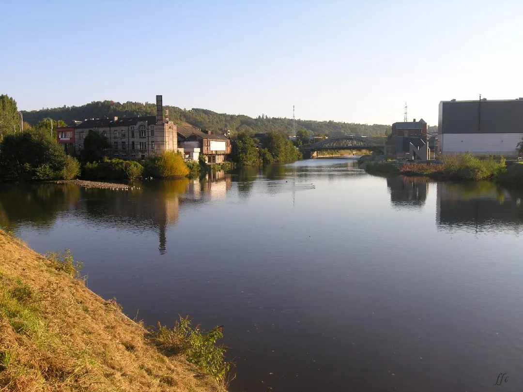
Chênée is worth a stop: 5 minutes from Chaudfontaine, 18km from Ninglinspo Valley.
Chênée is in Wallonia, Belgium, with about 9,200 people. You drive on the right here. The nearest town is Chaudfontaine, about 4 km away.
Chênée (French pronunciation: [ʃɛne] ; Walloon: Tchinnêye) is a sub-municipality of the city of Liège located in the province of Liège, Wallonia, Belgium. It was a separate municipality until 1977. On 1 January 1977, it was merged into Liège.
Chênée lays at the river mouth of the two rivers Vesdre and Ourthe. It hadRead more around 9,101 inhabitants in 2015. The postal code of Chênée is 4032 and is situated around 72 meters above sea level.
Belgium's only true mountain stream, tumbling through the Aywaille woods in a chain of red-rock cascades and natural bathing pools with names like 'Bain de Diane'; the trail starts directly at the Sedoz roadside parking.
18 km · about 20 min drive
scenic viewpoint
Gileppe Dam
A 19th-century dam near Spa crowned by a 13-ton stone lion, with a 78 m panorama tower and forested Ardennes reservoir views a short detour off the Verviers road.
25 km · about 30 min drive
landmark
Vrijthof Maastricht
A grand cafe-ringed square anchored by two medieval churches in the Netherlands' oldest, most Burgundian city.
27 km · about 30 min drive
landmark
Durbuy
Billed as the smallest town in the world, a cluster of grey-stone houses and a castle in a green Ardennes valley.
31 km · about 35 min drive
racetrack
Circuit de Spa-Francorchamps
Home of the Belgian Grand Prix, featuring the legendary Eau Rouge corner
32 km · about 35 min drive
landmark
Valkenburg Marl Caves
Hill-country Valkenburg hides Roman-era marl tunnels, a ruined castle and the Netherlands' only true hilltop drives.
32 km · about 35 min drive
museum
Stavelot Abbey
A 1,000-year-old abbey minutes from Spa-Francorchamps housing the circuit's official racing museum, with historic F1 and endurance cars in its vaulted cellars.
33 km · about 40 min drive
scenic viewpoint
Vaalserberg Drielandenpunt
The Netherlands' highest mainland point at 322.4 metres, where the Dutch, Belgian and German borders meet near Vaals.
33 km · about 40 min drive
Driving roads near Chênée
5 named roads, passes and coastal drives within 150km.
25 kmGileppe DamA 19th-century dam near Spa crowned by a 13-ton stone lion, with a 78 m panorama tower and forested Ardennes reservoir views a short detour off the Verviers road.
33 kmVaalserberg DrielandenpuntThe Netherlands' highest mainland point at 322.4 metres, where the Dutch, Belgian and German borders meet near Vaals.
36 kmSignal de BotrangeAt 694m this is the highest point in Belgium, marked by a stone tower on the Hautes Fagnes plateau.
41 kmBaraque de FraitureBelgium's second-highest point at 652 m, a windswept Ardennes plateau crossroads on the N89 with a small ski station and sweeping high-fen scenery.