
landmark
The Peter James Collection
A remarkable private collection of over 100 classic and vintage cars on display in Birmingham.
7 km · about 15 min drive
England, United Kingdom · Europe
Castle Vale works well as a base: 5 minutes from Water Orton, 30km from Warwick Castle.
Castle Vale is in England, United Kingdom, with about 10,000 people. You drive on the left here. The nearest town is Water Orton, about 4 km away.
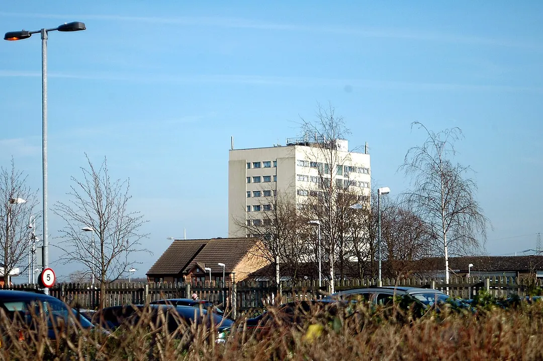
Castle Vale is a housing estate located between Erdington, Minworth and Castle Bromwich. Currently Castle Vale makes up the Castle Vale Ward of Birmingham City Council which is part of Erdington constituency (having previously been part of Hodge Hill constituency until recent times), 6 miles (9 km) northeast ofRead more
Birmingham city centre in England. The area has an approximate population of 10,000 people and has a distinctly modern residential character stemming from its history as a postwar overspill estate.
The area was originally known as Berwood, from the Saxon 'Bearu' meaning 'the woods'. Historically being a boggy and wooded area, the area remained undeveloped for most of its history until the deforestation practices of Edward Darcy in the 17th century and the construction of the Birmingham and Fazeley Canal in the 18th century. In the 20th century, the land became the site for the first aeroplane take-off in Birmingham which led to a long aviation history being associated with the area. Castle Bromwich Aerodrome was established on the site and operated from 1914 to 1960, being a major airfield in both World Wars and also having industrial importance as the testing facility for locally manufactured aeroplanes and the location for the British Industries Fair. Despite being steeped in aviation history, Castle Vale became infamous from the 1970s onwards as a large scale example of a failed postwar overspill estate, which suffered from poor construction and maintenance, social deprivation and high levels of crime. The area became the focus of a targeted regeneration initiative, led by the Castle Vale Housing Action Trust (CVHAT) from 1993 to 2005, where the estate witnessed the demolition of many of its housing stock and facilities, the refurbishment of remaining properties, and the construction of new housing and facilities along with the remodelling of the estate, funded both privately and publicly.
Compare prices across Booking.com, Airbnb, Expedia, and more. Select your dates to see availability.
Pick your must-haves once: provider links open pre-filtered. Each filter lists which sites it applies to.
Compare before you book!
Prices can vary significantly between platforms. We recommend checking at least 2-3 sites to find the best deal for your stay in Castle Vale.
Discover famous landmarks, scenic roads, and more near Castle Vale.
Within an hour or so of Castle Vale: The Peter James Collection (7 km), National Motorcycle Museum (10 km), Land Rover Experience Solihull (10 km), Black Country Living Museum (19 km).
The nearest famous roads are A54 Congleton to Buxton, Monsal Trail and Goyt Valley road, Peak District.
Castle Vale is in England, United Kingdom, about 4 km from Water Orton.
Road trip
Add it as a stop and the planner works out the driving, the nights and what's worth seeing on the way.
Start planningSwipe through places to go
Places within a drive of Castle Vale. Keep the ones you like and add them to your trip.
Essential numbers in United Kingdom
112 also works. NHS non-emergency medical advice: 111. National Highways breakdown assistance on motorways: 0300 123 5000.
Full driving guide for United Kingdom8 notable places within an hour's drive.
landmark
A remarkable private collection of over 100 classic and vintage cars on display in Birmingham.
7 km · about 15 min drive
landmark
The world's largest collection of British motorcycles with over 1,000 machines spanning a century of manufacturing near Solihull.
10 km · about 20 min drive
landmark
Off-road driving experience at Jaguar Land Rover's headquarters on a purpose-built terrain course.
10 km · about 20 min drive
museum
Open-air museum rebuilding an industrial Black Country town: canal boats, a working replica Newcomen engine, 1930s fish and chips fried in beef dripping, and a coal mine walk. A key Peaky Blinders filming location.
19 km · about 20 min drive
film location
The open-air museum in Dudley provides the canal-side streets and workshops of Peaky Blinders' Small Heath.
19 km · about 20 min drive
museum
Houses the world's largest publicly owned collection of British road transport, including land speed record holders.
23 km · about 25 min drive
landmark
Jaguar Land Rover's dedicated classic vehicle facility in Coventry where heritage models are restored and reimagined.
29 km · about 35 min drive
castle
A medieval castle built by William the Conqueror in 1068, situated on the banks of the River Avon in Warwickshire.
30 km · about 35 min drive
5 named roads, passes and coastal drives within 100km.
April to October
Other places to explore near Castle Vale.
Your trip starts here
Pick the days, drop in the stops, and share it with whoever's coming.