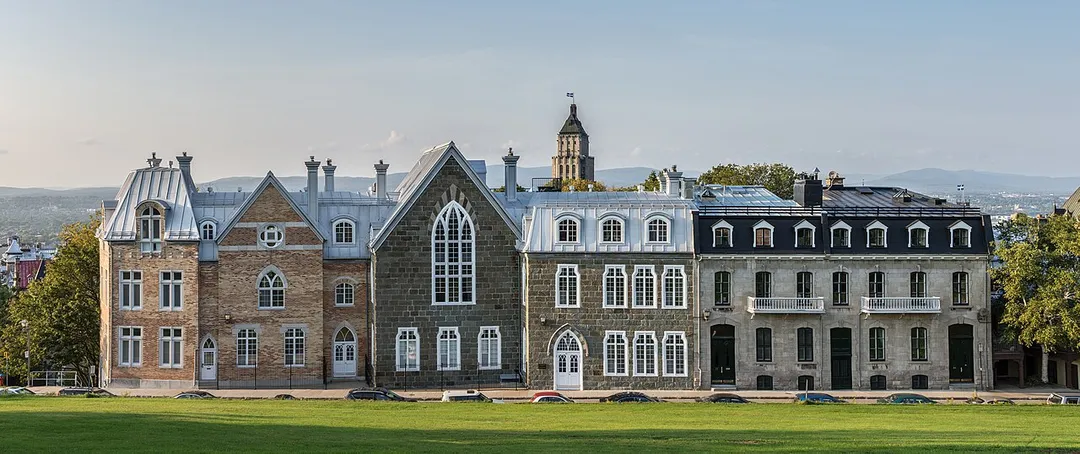
Bühl works well as a base: 10 minutes from Bühlertal, 12km from Schwarzwaldhochstrasse (B500).
Bühl is in Germany. You drive on the right here. The nearest town is Bühlertal, about 4 km away.
The city of Bühl (German pronunciation: [byːl] ; Low Alemannic: Bihl) is part of the district of Rastatt in the southwestern state of Baden-Württemberg, Germany. It has a history reaching back to the twelfth century and was formerly an agricultural town, especially famous for its plums. Bühl has a population of aboutRead more 29,000, and is in the region between the Rhine Valley and the Black Forest.
Today it is mainly an industrial town, especially in the car manufacturing supply industry. Yet it still has preserved its character and is also renowned for its good restaurants.
Bühl is a town in the southwestern state of Baden-Württemberg, Germany, about 10 km (6.2 mi) South of Baden-Baden. Bühl is the third largest town in Rastatt County (Landkreis), after Rastatt itself and Gaggenau. Due to its location, size and importance it has become a central place for numerous towns, townships and villages in the neighbourhood. Bühl was proclaimed a major district town (Große Kreisstadt) on 1 January 1973, after it lost its status as an independent county seat during municipal reforms in Baden-Württemberg. The following villages form the district town of Bühl: Altschweier, Balzhofen, Eisental, Kappelwindeck, Oberbruch, Oberweier, Moos, Neusatz, Rittersbach, Vimbuch, Weitenung. Bühl forms a joint administrative community with the municipality of Ottersweier.
Within an hour or so of Bühl: Schwarzwaldhochstrasse (Black Forest High Road) (9 km), Baden-Baden (11 km), Altes Schloss Hohenbaden (12 km), Schwarzwaldhochstrasse (B500) (12 km).
Are there any good drives near Bühl?
The nearest famous roads are Schwarzwaldhochstrasse (B500), Schwarzwaldhochstraße and Solituderennen.
Where is Bühl?
Bühl is in Germany, about 4 km from Bühlertal.
Road trip
Drive to Bühl
Add it as a stop and the planner works out the driving, the nights and what's worth seeing on the way.
The B500 ridge road runs 60 km from Baden-Baden to Freudenstadt through dense pine forest, passing the Mummelsee lake and spa towns, with sweeping viewpoints over the Rhine plain.
9 km · about 15 min drive
landmark
Baden-Baden
An elegant spa town at the edge of the Black Forest, famed for its thermal baths, casino, and the Festspielhaus concert hall.
11 km · about 20 min drive
castle
Altes Schloss Hohenbaden
Ruined twelfth-century castle walls crown a forested ridge above spa town Baden-Baden with sweeping Rhine valley views.
12 km · about 20 min drive
famous road
Schwarzwaldhochstrasse (B500)
The Black Forest High Road along the ridge from Baden-Baden to Freudenstadt, flowing curves through spruce forest.
12 km · about 25 min drive
famous road
Schwarzwaldhochstraße
The Black Forest High Road climbs the B500 past pine ridges, moorland lakes and panoramic pull-offs from Baden-Baden to Freudenstadt.
13 km · about 25 min drive
natural wonder
Mummelsee
A dark glacial tarn beneath Hornisgrinde peak on the Black Forest High Road, wrapped in mermaid legend and pine forest.
13 km · about 25 min drive
waterfall
Allerheiligen Waterfalls
Seven cascades plunge through a wild rocky gorge beside a ruined monastery in the northern Black Forest near Oppenau.
19 km · about 20 min drive
cathedral
Cathédrale Notre-Dame de Strasbourg
A Gothic sandstone cathedral that was the world's tallest building for over two centuries.
31 km · about 35 min drive
Driving roads near Bühl
Right hereSchwarzwaldhochstrasse (Black Forest High Road)The B500 ridge road runs 60 km from Baden-Baden to Freudenstadt through dense pine forest, passing the Mummelsee lake and spa towns, with sweeping viewpoints over the Rhine plain.
Right hereSchwarzwaldhochstrasse (B500)The Black Forest High Road along the ridge from Baden-Baden to Freudenstadt, flowing curves through spruce forest.
Right hereSchwarzwaldhochstraßeThe Black Forest High Road climbs the B500 past pine ridges, moorland lakes and panoramic pull-offs from Baden-Baden to Freudenstadt.
61 kmMont Sainte-OdileClifftop abbey at 764 m on a Vosges spur, Alsace's holiest site, with terrace views across the Rhine plain and the mysterious 10-km 'Pagan Wall' megalithic enclosure in the woods below.
67 kmSolituderennenA 11.4km road circuit through the forest west of Stuttgart that drew 300,000 spectators to Grand Prix races in the 1960s. The public roads still run the old lap past Schloss Solitude, and the course is entirely drivable today.
69 kmDeutsche WeinstraßeGermany's oldest wine route winds 85 km past vineyards, almond blossoms and half-timbered villages through the Palatinate.