Benediktbeuern works well as a base: 10 minutes from Bad Heilbrunn, 11km from Kesselberg Road.
Benediktbeuern is in Bavaria, Germany, with about 3,400 people. You drive on the right here. The nearest town is Bad Heilbrunn, about 6 km away.
Benediktbeuern (German pronunciation: [benədɪktˈbɔʏɐn]; Central Bavarian: Benediktbeiern) is a municipality in the district of Bad Tölz-Wolfratshausen in Bavaria, Germany, 2 kilometres, or 1.25 miles from Bichl. The village has 3,602 residents as of 31 December 2019.
The medieval Latin name of Benediktbeuern was BuriaRead more (adjective: Burana).
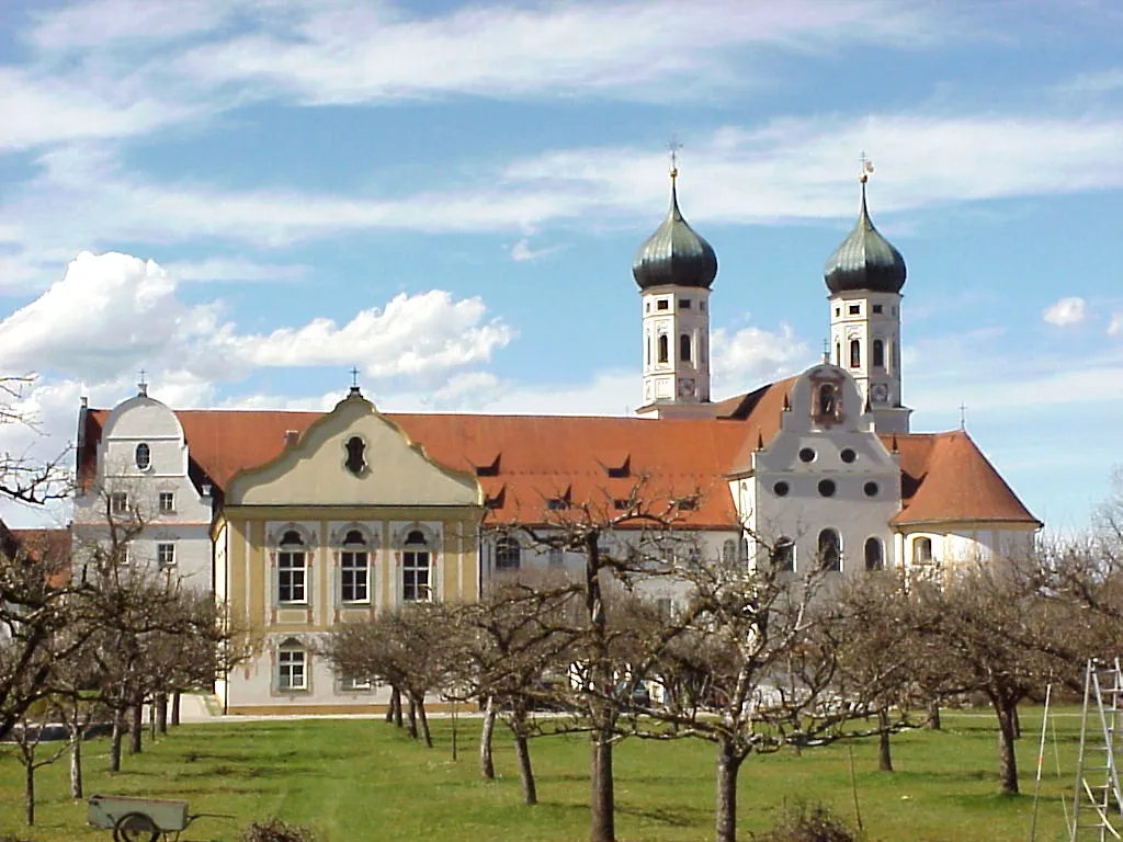
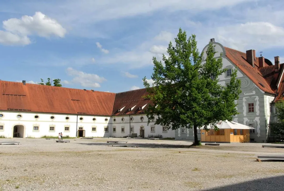
Benediktbeuern has a famous monastery, formerly belonging to the Benedictine Order, called Benediktbeuern Abbey, which was founded in about 739. Its name is well known because of the Carmina Burana ('Benediktbeuern songs') manuscript found there in 1803 and subsequently set to music by Carl Orff. Since 1930, the Salesians of Don Bosco have lived in this monastery.
Johann Wolfgang von Goethe visited Benediktbeuern during his third journey to Italy in 1786.
The secular village itself - its ribbon-development clearly distinct from the abbey's edifices - was called Laingruben until 30 November 1865, when it was permitted to take the name of the monastery. Benediktbeuern has kept the structure of a traditional village near the Alps. The village can be used as a base for day trips to many places of interest, and it has become a tourist resort. Many residents of the village commute to Penzberg, Wolfratshausen/Geretsried and Munich.
Important road connections are the A95 motorway from Munich to Garmisch-Partenkirchen and federal highway B472 from east to west. From Benediktbeuern station trains run from Kochel to Munich in an hour, and the village has a bus connection to Bad Tölz.
Bavaria's most celebrated driving road: the B11 climbs in tight switchbacks from Kochelsee to Walchensee over the 858 m Kesselberg, a historic hillclimb course beloved by motorcyclists since the 1900s.
11 km · about 20 min drive
famous road
Deutsche Alpenstrasse
Germany's oldest holiday road winding 450km along the Bavarian Alps past lakes, castles and mountain passes from Lindau to Berchtesgaden.
16 km · about 20 min drive
scenic viewpoint
Sylvenstein Reservoir
A vivid blue reservoir crossed by a graceful bridge on the German Alpine Road, gateway to the Karwendel mountains.
17 km · about 20 min drive
landmark
Oberammergau
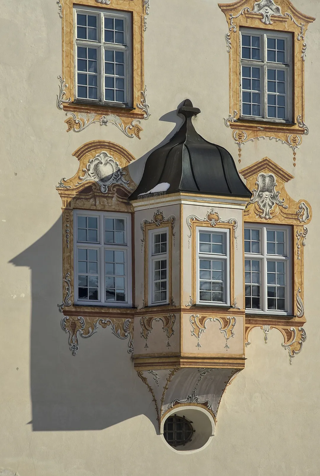
A picturesque Bavarian village famous for its Passion Play performed every ten years and its traditional Lüftlmalerei painted houses.
29 km · about 35 min drive
scenic viewpoint
Garmisch-Partenkirchen
A renowned winter sports and mountaineering hub at the foot of the Zugspitze, Germany's highest peak.
33 km · about 40 min drive
natural wonder
Partnach Gorge
A thundering 700m gorge near Garmisch with footpaths carved into rock walls beneath crashing waterfalls and ice formations.
34 km · about 40 min drive
landmark
Andechs Monastery
A hilltop Benedictine monastery above the Ammersee famous for its potent monk-brewed beer and pilgrimage church.
35 km · about 40 min drive
natural wonder
Achensee
Tyrol's largest lake, a pristine fjord-like alpine jewel between the Karwendel and Rofan mountain ranges, perfect for sailing and diving.
37 km · about 40 min drive
Driving roads near Benediktbeuern
Right hereKesselberg RoadBavaria's most celebrated driving road: the B11 climbs in tight switchbacks from Kochelsee to Walchensee over the 858 m Kesselberg, a historic hillclimb course beloved by motorcyclists since the 1900s.
16 kmDeutsche AlpenstrasseGermany's oldest holiday road winding 450km along the Bavarian Alps past lakes, castles and mountain passes from Lindau to Berchtesgaden.
17 kmSylvenstein ReservoirA vivid blue reservoir crossed by a graceful bridge on the German Alpine Road, gateway to the Karwendel mountains.
33 kmGarmisch-PartenkirchenA renowned winter sports and mountaineering hub at the foot of the Zugspitze, Germany's highest peak.
45 kmZugspitzeAt 2,962 metres, the highest peak in Germany offers panoramic views across four countries from its summit platform.
45 kmNordkette MountainA dramatic 2,334-metre Alpine ridge accessible by cable car directly from Innsbruck's city centre, offering world-class views of the Inn Valley.