

natural wonder
Flamborough Head
A chalk headland of stacks, arches and caves on the East Yorkshire coast, with two lighthouses and huge seabird colonies nearby.
15 km · about 30 min drive
England, United Kingdom · Europe
Barmston is worth a stop: 10 minutes from Skipsea, 15km from Flamborough Head.
Barmston is in England, United Kingdom. You drive on the left here. The nearest town is Skipsea, about 4 km away.
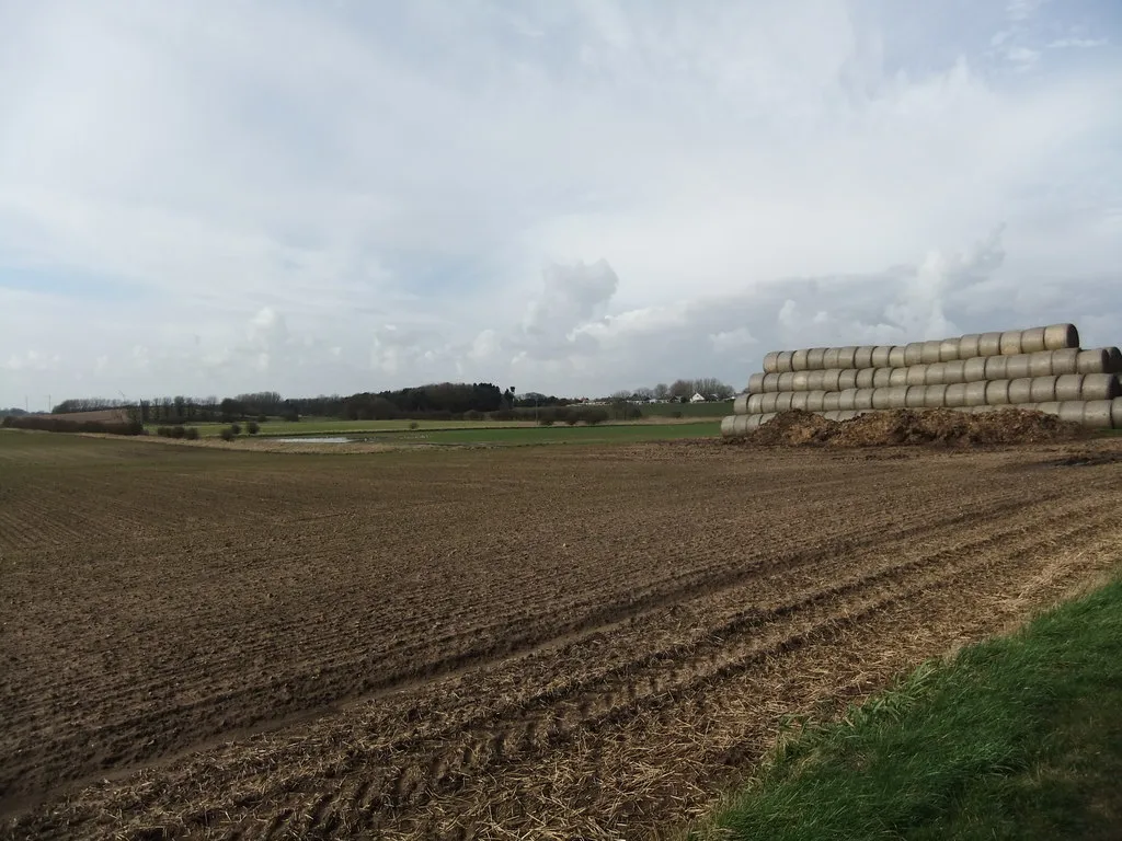
Barmston is a village and civil parish in the East Riding of Yorkshire, England. It is situated on the Holderness coast, overlooking the North Sea and to the east of the A165 road. Barmston is approximately 6 miles (10 km) south of Bridlington town centre. The parish includes the village of Fraisthorpe, the formerRead more
villages of Auburn and Hartburn have been abandoned due to coastal erosion. Barmston is mentioned in the Domesday Book as having eight ploughlands and belonging to Drogo of la Beuvrière. The name of the village derives from Beorn's Tūn (Beorn's Town). According to the 2011 UK census, Barmston and Fraisthorpe parish had a population of 275, a slight decrease on the 2001 UK census figure of 277. The parish covering an area of 1,765.014 hectares (4,361.44 acres).
The beach at Barmston was awarded the Blue flag rural beach award in 2005, but was removed from the list of designated bathing beaches in 2010, as a result of erosion making access to the beach difficult.
All Saints' Church, Barmston is a Grade I listed building. Barmston public house is the Black Bull. The Old Hall was designated a Grade II* listed building in 1952 and is now recorded in the National Heritage List for England, maintained by Historic England.
Compare prices across Booking.com, Airbnb, Expedia, and more. Select your dates to see availability.
Pick your must-haves once: provider links open pre-filtered. Each filter lists which sites it applies to.
Compare before you book!
Prices can vary significantly between platforms. We recommend checking at least 2-3 sites to find the best deal for your stay in Barmston.
Discover famous landmarks, scenic roads, and more near Barmston.
Within an hour or so of Barmston: Flamborough Head (15 km), RSPB Bempton Cliffs (15 km), Seaways Cafe (28 km), Scarborough Castle (32 km).
The nearest famous roads are Rosedale Chimney Bank, Holme Moss and Woodhead Pass.
Barmston is in England, United Kingdom, about 4 km from Skipsea.
Road trip
Add it as a stop and the planner works out the driving, the nights and what's worth seeing on the way.
Start planningSwipe through places to go
Places within a drive of Barmston. Keep the ones you like and add them to your trip.
Essential numbers in United Kingdom
112 also works. NHS non-emergency medical advice: 111. National Highways breakdown assistance on motorways: 0300 123 5000.
Full driving guide for United Kingdom8 notable places within an hour's drive.
natural wonder
A chalk headland of stacks, arches and caves on the East Yorkshire coast, with two lighthouses and huge seabird colonies nearby.
15 km · about 30 min drive
natural wonder
Chalk cliffs hosting half a million seabirds in season, including England's largest mainland gannet colony and thousands of puffins.
15 km · about 30 min drive
cafe
Famous bikers' cafe at Fridaythorpe on the rolling B1251 through the Yorkshire Wolds, drawing hundreds of motorcycles and sports cars on summer weekends for its renowned breakfasts.
28 km · about 35 min drive
castle
A headland fortress dividing Scarborough's two bays, occupying a site used since the Iron Age and shelled by German battlecruisers in 1914.
32 km · about 35 min drive
bridge
Vast single-span suspension bridge over the Humber estuary near Hull: the world's longest of its kind for 16 years after opening in 1981, with a 2.2km crossing that still feels like flying over water.
37 km · about 45 min drive
landmark
An 18-mile heritage steam line from Pickering across the moors to Grosmont and on to Whitby, one of the busiest in Britain.
44 km · about 50 min drive
castle
A stately home in North Yorkshire, not a true castle but one of England's grandest Baroque residences, famous from Brideshead Revisited.
46 km · about 55 min drive
natural wonder
A vast natural amphitheatre 120 m deep on the Pickering-to-Whitby road, hollowed out by spring sapping rather than by ice.
47 km · about 55 min drive
12 named roads, passes and coastal drives within 150km.
April to October
Other places to explore near Barmston.
Your trip starts here
Pick the days, drop in the stops, and share it with whoever's coming.