PYRTPlan Your Road Trips
Create TripCommunityMerchandise
PYRTPlan Your Road Trips
Create TripCommunityMerchandise
Solar resource: GLOBAL HORIZONTAL IRRADIATION (GHI) - this map provides a summary of the estimated solar energy available for power generation and other energy applications. It represents the long-term average of daily/yearly totals of global horizontal irradiation (GHI). The underlying solar resource database is calculated by the Solargis model from atmospheric and satellite data with 15- or 30-minute time step. The effects of terrain are considered at nominal spatial resolution of 250 m. GHI is the most important parameter for energy yield calculation and performance assessment of flat-plate photovoltaic (PV) technologies. Further details available at: https://globalsolaratlas.info.
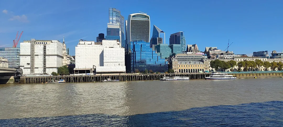
View across Exchange Square of the European Bank for Reconstruction and Development Headquarters (EBRD), London, United Kingdom
United Kingdom London
Photo by Solargis
Destinations
Home›Destinations›Banks
EuropeUnited KingdomEngland

Banks

England, United Kingdom · Europe

About Banks

Banks is worth a stop: 10 minutes from Tarleton, 39km from Trough of Bowland.

Banks is in England, United Kingdom, with about 3,600 people. You drive on the left here. The nearest town is Tarleton, about 6 km away.

Banks is a coastal village in the civil parish of North Meols, in the West Lancashire district, in Lancashire, England, south of the Ribble estuary four miles (6 km) north-east of Southport town centre. In 2021 it had a population of 4430. It is in the Southport parliamentary constituency. Banks is the largest

Read more village in the parish of North Meols on the West Lancashire coastal plain. It was primarily an agricultural community due to the excellent soil, although there was fishing activity for many years. Production of flowers and vegetables is common on the farms surrounding the village. The proximity of Southport and Preston have led to its expansion as a dormitory for commuters.

Read more on Wikipedia

Where to Stay in Banks

Compare prices across Booking.com, Airbnb, Expedia, and more. Select your dates to see availability.

Filter presets

Pick your must-haves once: provider links open pre-filtered. Each filter lists which sites it applies to.

Booking.comExpediaTripAdvisorHotels.comAgodaAirbnb

Compare before you book!

Prices can vary significantly between platforms. We recommend checking at least 2-3 sites to find the best deal for your stay in Banks.

Explore the Area

Discover famous landmarks, scenic roads, and more near Banks.

Loading map...
Open in Google Maps

Frequently Asked Questions

What is there to see near Banks?

Within an hour or so of Banks: Blackpool Pleasure Beach (15 km), Aintree Motor Racing Circuit (23 km), Trough of Bowland (39 km), Rapha Clubhouse Manchester (50 km).

Are there any good drives near Banks?

The nearest famous roads are Trough of Bowland, Corney Fell Road and Holme Moss.

Where is Banks?

Banks is in England, United Kingdom, about 6 km from Tarleton.

Road trip

Drive to Banks

Add it as a stop and the planner works out the driving, the nights and what's worth seeing on the way.

Start planning

What's nearby?

Swipe through places to go

Places within a drive of Banks. Keep the ones you like and add them to your trip.

Explore now

Quick Information

Population
3,572
Continent
Europe
Country
United Kingdom
Region
England
Timezone
Europe/London
Coordinates
53.6833, -2.9167

Emergency & Services

Essential numbers in United Kingdom

Police
999
Ambulance
999
Fire
999
Non-emergency police
101
Driving side
left

112 also works. NHS non-emergency medical advice: 111. National Highways breakdown assistance on motorways: 0300 123 5000.

Full driving guide for United Kingdom

Tags

EuropeUnited KingdomEnglandTown

Worth the detour from Banks

7 notable places within an hour's drive.

landmark

Blackpool Pleasure Beach

Iconic seaside amusement park on England's northwest coast operating since 1896 with historic and modern coasters.

15 km · about 30 min drive

racetrack

Aintree Motor Racing Circuit

Historic circuit inside Aintree Racecourse that hosted five British Grands Prix in the 1950s-60s, where Stirling Moss took his first home GP win. Club sprints still run on the old track.

23 km · about 25 min drive

famous road

Trough of Bowland

Remote moorland pass through the Forest of Bowland linking Lancaster and Dunsop Bridge, following the route the Pendle witches were marched to trial in 1612. Sweeping single-carriageway bends with barely a building in sight.

39 km · about 45 min drive

cafe

Rapha Clubhouse Manchester

Manchester's cycling culture hub offering specialty coffee, kit, and a community space for riding enthusiasts.

50 km · about 60 min drive

landmark

Chester Zoo

The UK's most-visited zoo housing over 35,000 animals across 128 acres with award-winning conservation programs.

51 km · about 60 min drive

racetrack

Oulton Park

A picturesque Cheshire circuit winding through parkland with dramatic elevation changes, a favourite of British club and national racing.

60 km · about 70 min drive

waterfall

Ingleton Waterfalls Trail

A 4.5-mile paid circular walk through wooded gorges past a chain of waterfalls including Thornton Force and Pecca Falls.

60 km · about 70 min drive

Driving roads near Banks

27 named roads, passes and coastal drives within 100km.

  • 39 kmTrough of BowlandRemote moorland pass through the Forest of Bowland linking Lancaster and Dunsop Bridge, following the route the Pendle witches were marched to trial in 1612. Sweeping single-carriageway bends with barely a building in sight.
  • 68 kmPen-y-ghentThe most distinctive of the Yorkshire Three Peaks, a 694 m stepped ridge above Horton in Ribblesdale.
  • 69 kmWhernsideThe highest point in Yorkshire at 736 m, forming the long whaleback ridge above Ribblehead Viaduct.
  • 72 kmCorney Fell RoadA single-track fell road climbing from the Duddon valley to over 300 m with sweeping views across the Irish Sea to the Isle of Man.
  • 72 kmHolme MossA 524 m Pennine pass on the A6024 topped by a landmark transmitter mast, a celebrated cycling climb used in the 2014 Tour de France.
  • 73 kmGreat Orme Marine DriveOne-way Victorian toll road looping 4 miles around the cliffs of the Great Orme headland at Llandudno, with sheer limestone drops, seabirds and views to Anglesey and the Irish Sea.

Driving in United Kingdom

Drives on
the left
Petrol
~€1.73/litre
Motorway tolls
None

When to drive here

April to October

Nearby Destinations

Other places to explore near Banks.

Tarleton

🇬🇧 United Kingdom

6 km awayPop. 8,582

Southport

🇬🇧 United Kingdom

7 km awayPop. 91,703

Lytham St Annes

🇬🇧 United Kingdom

8 km awayPop. 42,695

Freckleton

🇬🇧 United Kingdom

9 km awayPop. 8,049

Burscough

🇬🇧 United Kingdom

11 km awayPop. 8,799

Kirkham

🇬🇧 United Kingdom

11 km awayPop. 7,883

Ormskirk

🇬🇧 United Kingdom

13 km awayPop. 24,073

Leyland

🇬🇧 United Kingdom

15 km awayPop. 37,614

Plan a trip around Banks

United Kingdom road trip planner

Your trip starts here

Plan a road trip from Banks.

Pick the days, drop in the stops, and share it with whoever's coming.

Start planning
PYRT

The ultimate road trip planning platform. Discover 150,000+ destinations worldwide, plan scenic routes, and create unforgettable adventures.

Inspiration

  • Discover Trips
  • Travel Guides
  • Community

The Product

  • Calendar Planner
  • Integrations
  • How It Works
  • Collaboration Mode
  • Get the App
  • Merchandise: PYRT Supply Co.
  • Become a Creator
  • Trip Marketplace

Plan Your Trip

  • Road Trip Planner
  • Famous Routes
  • Drive Times & Distances
  • Planners by Country
  • Best Road Trip Planner App
  • Discover Road Trips
  • Events
  • Travel Guides
  • How It Works
  • My Trips
  • Community Groups

Company

  • Terms of Service
  • Privacy Policy
  • About PYRT
  • Support
  • Contact Us
  • Sign In
  • Create Account

© 2026 Plan Your Road Trips. All rights reserved.

•[email protected]
Data sources:GeoNames (CC BY 4.0)•Wikimedia Commons (CC BY-SA)•Mapbox•Photography: George Lawrence