

bridge
Clifton Suspension Bridge
Isambard Kingdom Brunel's iconic 1864 suspension bridge soaring 75m above the Avon Gorge at Bristol, still carrying traffic and glowing with lights after dark.
12 km · about 20 min drive
England, United Kingdom · Europe
Almondsbury works well as a base: 10 minutes from Stoke Gifford, 18km from A466 Wye Valley (Chepstow to Monmouth).
Almondsbury is in England, United Kingdom, with about 1,800 people. You drive on the left here. The nearest town is Stoke Gifford, about 5 km away.
Almondsbury (English: ) is a large village and civil parish in South Gloucestershire, England. It is situated on the A38 road in the Avon Green Belt 7 miles (11 km) north of Bristol city centre. It is adjacent to junction 16 of the M5 motorway and Almondsbury Interchange, where the M4 and M5 cross. It is part of theRead more
Bristol Built-up Area.
The civil parish also includes the villages of Hortham, Gaunt's Earthcott, Over, Easter Compton, Compton Greenfield, Hallen and Berwick.
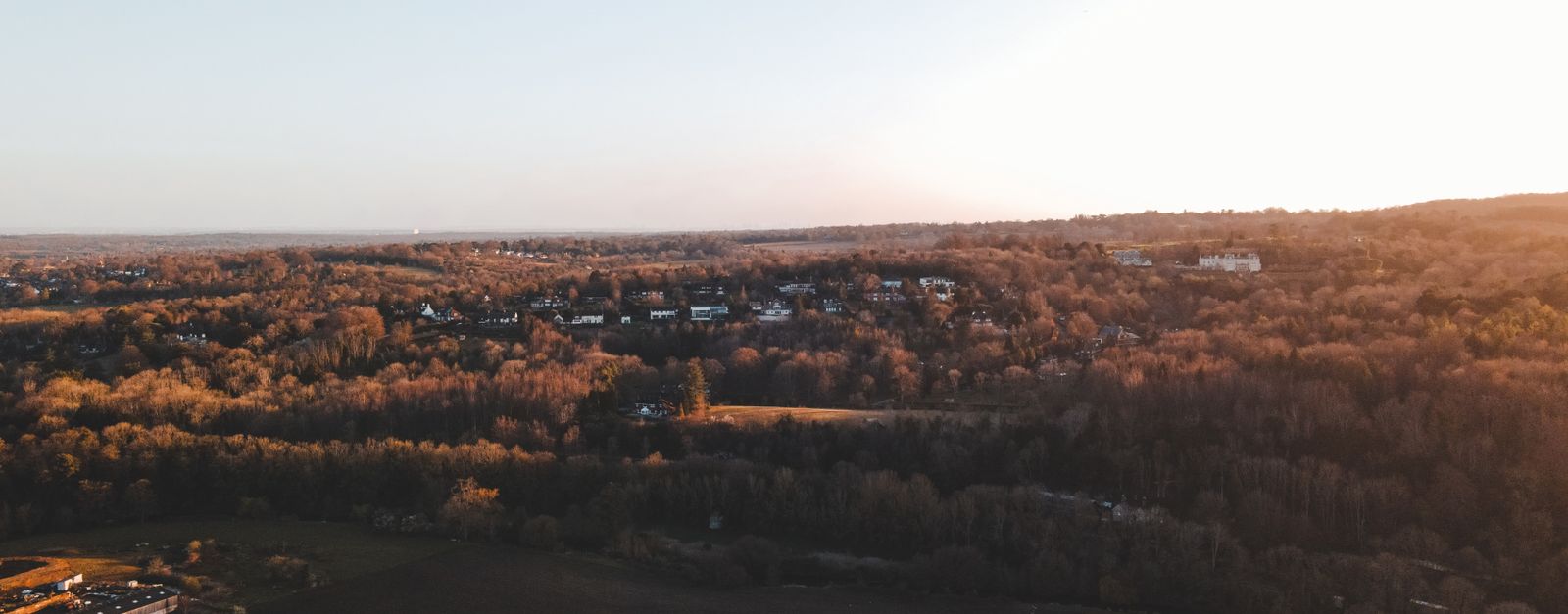
The village is split by a steep hill, part of the escarpment overlooking the Severn floodplain. At the bottom of the hill is Lower Almondsbury where a pub and hotel, The Bowl Inn, is situated. South Wales, the Forest of Dean, the River Severn and both Severn Bridges are visible from the higher parts of the village, which consists mainly of ribbon development along the A38 and has more of an urban characteristic.
Compare prices across Booking.com, Airbnb, Expedia, and more. Select your dates to see availability.
Pick your must-haves once: provider links open pre-filtered. Each filter lists which sites it applies to.
Compare before you book!
Prices can vary significantly between platforms. We recommend checking at least 2-3 sites to find the best deal for your stay in Almondsbury.
Discover famous landmarks, scenic roads, and more near Almondsbury.
Within an hour or so of Almondsbury: Clifton Suspension Bridge (12 km), Devil's Pulpit (17 km), A466 Wye Valley (Chepstow to Monmouth) (18 km), Roman Baths, Bath (24 km).
The nearest famous roads are A466 Wye Valley (Chepstow to Monmouth), Cheddar Gorge Road (B3135) and Gospel Pass.
Almondsbury is in England, United Kingdom, about 5 km from Stoke Gifford.
Road trip
Add it as a stop and the planner works out the driving, the nights and what's worth seeing on the way.
Start planningSwipe through places to go
Places within a drive of Almondsbury. Keep the ones you like and add them to your trip.
Essential numbers in United Kingdom
112 also works. NHS non-emergency medical advice: 111. National Highways breakdown assistance on motorways: 0300 123 5000.
Full driving guide for United Kingdom8 notable places within an hour's drive.
bridge
Isambard Kingdom Brunel's iconic 1864 suspension bridge soaring 75m above the Avon Gorge at Bristol, still carrying traffic and glowing with lights after dark.
12 km · about 20 min drive
scenic viewpoint
A narrow limestone pinnacle perched above the Wye Valley near Tintern Abbey, offering a dizzying view down through the forest canopy.
17 km · about 20 min drive
famous road
A wooded riverside road through a designated AONB past Tintern Abbey, gentle and beautiful rather than challenging.
18 km · about 20 min drive
ancient ruins
Remarkably preserved Roman bathing complex fed by Britain's only natural hot springs, surrounded by elegant Georgian architecture.
24 km · about 30 min drive
landmark
A film-set medieval village of honey cottages with no visible modern intrusions, often called England's prettiest village.
25 km · about 30 min drive
film location
The moss-covered rock maze in the Forest of Dean appears in The Force Awakens, Merlin and Doctor Who.
25 km · about 30 min drive
film location
Often called England's prettiest village; it was the seaside town of Puddleby in the 1967 Doctor Dolittle and appears in War Horse and Stardust.
25 km · about 30 min drive
racetrack
A charming Wiltshire circuit in a picturesque Cotswolds village, one of England's oldest operational racing venues.
26 km · about 30 min drive
April to October
Other places to explore near Almondsbury.
Your trip starts here
Pick the days, drop in the stops, and share it with whoever's coming.