mountain pass
Cormet de Roselend
A 1,968 m Beaufortain pass whose road skirts the turquoise Lac de Roselend reservoir: one of the most photogenic climbs of the Tour de France and the Route des Grandes Alpes.
23 km · about 25 min drive

Rhône-Alpes, France · Europe
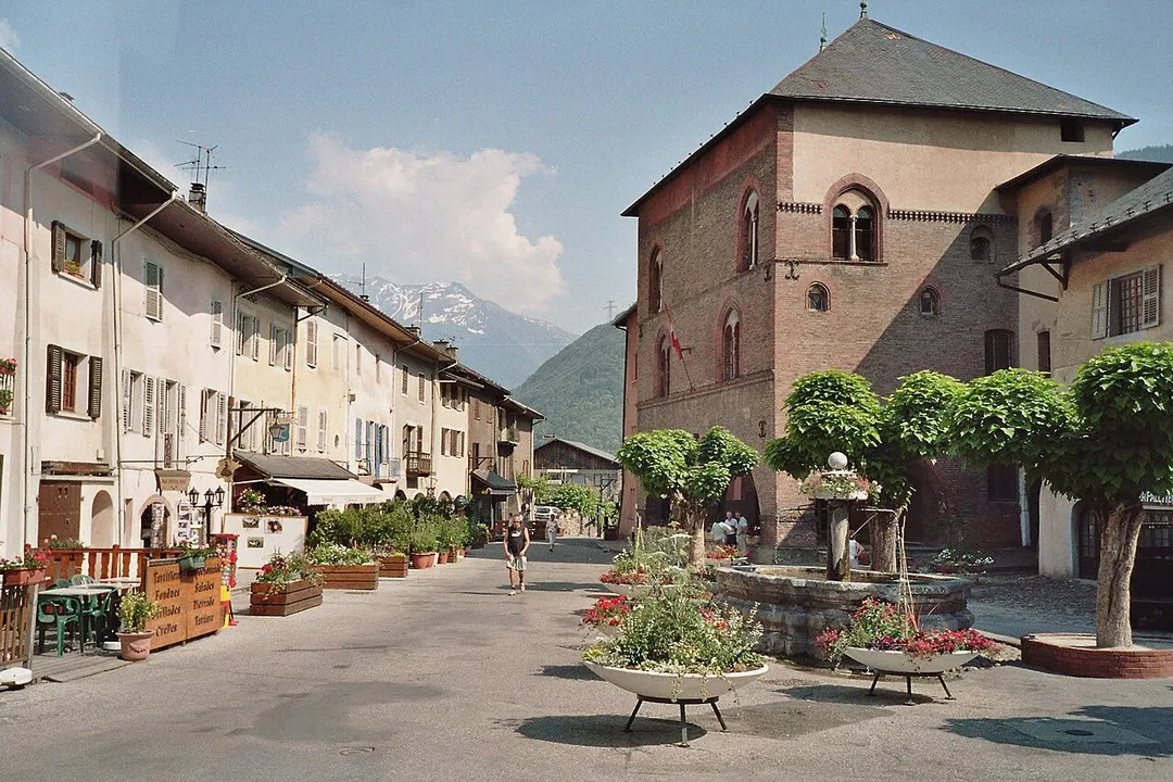
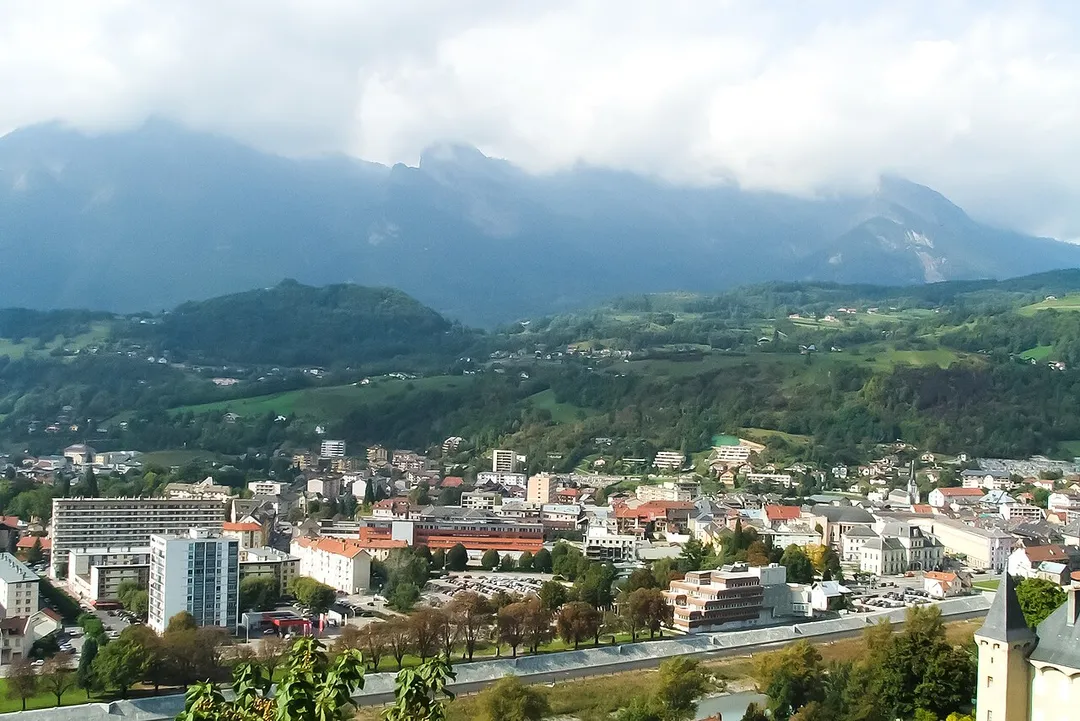
Albertville works well as a base: 5 minutes from Gilly-sur-Isère, 27km from Lake Annecy.
Albertville is in Rhône-Alpes, France, with about 19,000 people. You drive on the right here. The nearest town is Gilly-sur-Isère, about 4 km away.
Albertville (French pronunciation: [albɛʁvil] ; Arpitan: Arbèrtvile) is a subprefecture of the Savoie department in the Auvergne-Rhône-Alpes region in southeastern France.
It is best known for hosting the 1992 Winter Olympics and Paralympics. In 2022, the commune had a population of 19,706; its urban area had 40,715Read more
inhabitants.
Compare prices across Booking.com, Airbnb, Expedia, and more. Select your dates to see availability.
Pick your must-haves once: provider links open pre-filtered. Each filter lists which sites it applies to.
Compare before you book!
Prices can vary significantly between platforms. We recommend checking at least 2-3 sites to find the best deal for your stay in Albertville.
Discover famous landmarks, scenic roads, and more near Albertville.
Within an hour or so of Albertville: Cormet de Roselend (23 km), Col des Aravis (23 km), Col de la Madeleine (27 km), Lake Annecy (27 km).
The nearest famous roads are Col des Aravis, Cormet de Roselend and Col de la Madeleine.
Albertville is in Rhône-Alpes, France, about 4 km from Gilly-sur-Isère.
Road trip
Add it as a stop and the planner works out the driving, the nights and what's worth seeing on the way.
Start planningSwipe through places to go
Places within a drive of Albertville. Keep the ones you like and add them to your trip.
Essential numbers in France
Carrying a warning triangle and hi-vis vest in your vehicle is mandatory. Motorway emergency phones connect to official breakdown services only.
Full driving guide for France8 notable places within an hour's drive.
mountain pass
A 1,968 m Beaufortain pass whose road skirts the turquoise Lac de Roselend reservoir: one of the most photogenic climbs of the Tour de France and the Route des Grandes Alpes.
23 km · about 25 min drive
mountain pass
A 1,486 m pass between La Clusaz and Flumet with a tiny chapel at the summit and a postcard head-on view of Mont Blanc framed by alpine pastures.
23 km · about 25 min drive
mountain pass
A challenging Tour de France climb in the Savoie Alps at 1993m, with long, winding approaches through pastoral valleys and dense forest.
27 km · about 30 min drive
natural wonder
Europe's purest lake, a dazzling turquoise jewel framed by the French Alps and the charming pastel-hued old town of Annecy.
27 km · about 30 min drive
natural wonder
Western Europe's highest peak at 4,808 meters, a snow-capped giant straddling the French-Italian border in the Alps.
41 km · about 45 min drive
famous road
Eighteen tightly stacked hairpins climbing a near-vertical cliff wall out of the Maurienne valley: a ribbon of switchbacks so photogenic it became an instant Tour de France icon in 2015.
41 km · about 45 min drive
tunnel
An 11.6 km tunnel beneath Western Europe's highest mountain, linking Chamonix in France with Courmayeur in Italy: the quickest year-round route between the French and Italian Alps.
45 km · about 50 min drive
scenic viewpoint
A vertiginous 3,842-meter granite needle reached by a spectacular cable car, offering face-to-face views of Mont Blanc.
45 km · about 50 min drive
8 named roads, passes and coastal drives within 60km.
April to October
Other places to explore near Albertville.
Your trip starts here
Pick the days, drop in the stops, and share it with whoever's coming.