Akranes works well as a base: 20 minutes from Seltjarnarnes, 21km from Northern Lights: Reykjavik.
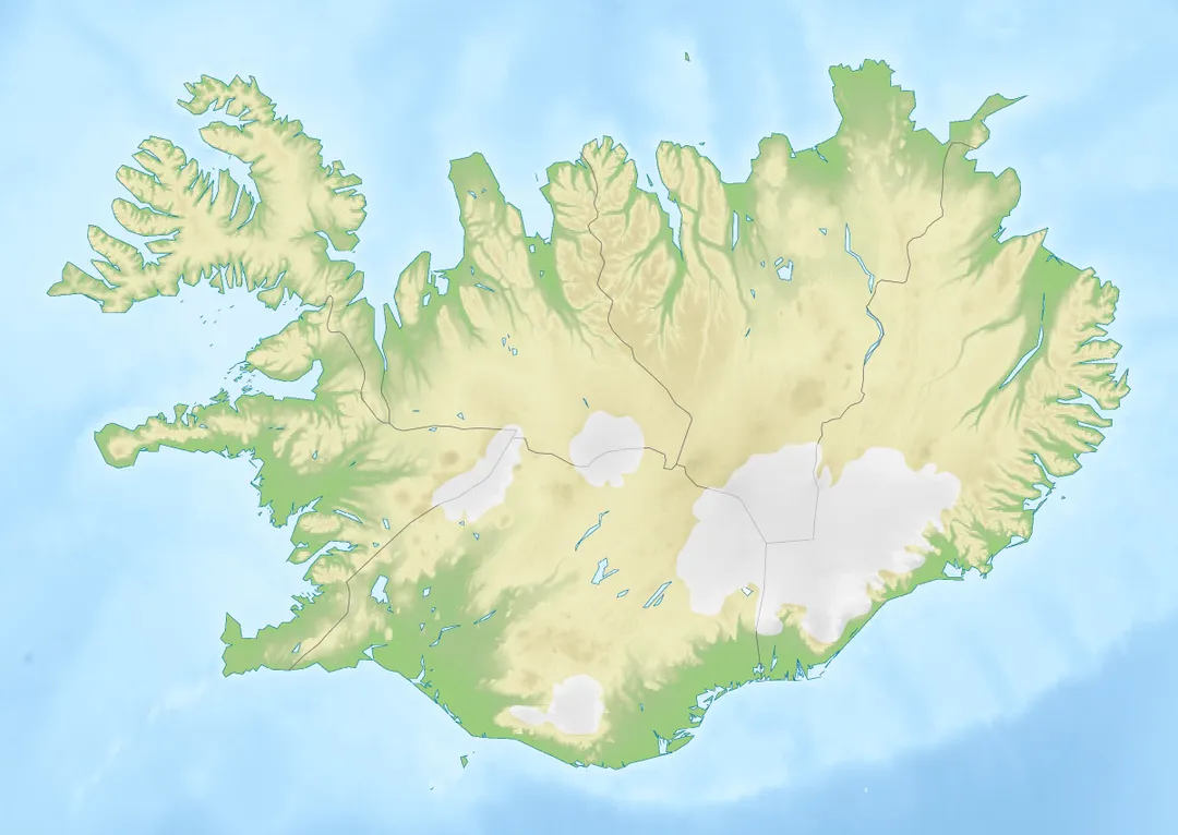
Akranes is in West, Iceland, with about 7,400 people. You drive on the right here. The nearest town is Seltjarnarnes, about 19 km away.
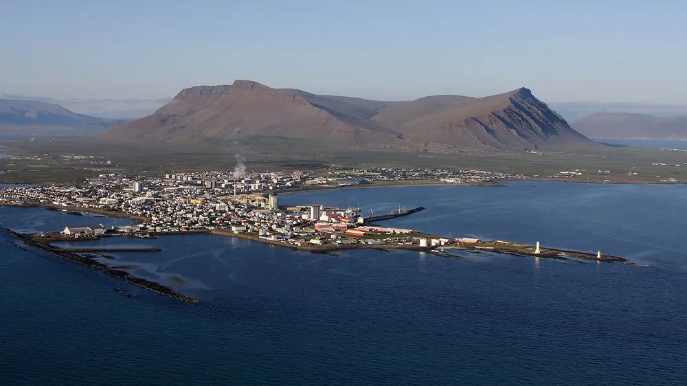
Akranes (Icelandic pronunciation: [ˈaːkraˌnɛːs] ) is a port town and municipality on the west coast of Iceland, around 50 km (31 mi) north of the capital Reykjavík.
The area where Akranes is located was settled in the 9th century; however, it did not receive a municipal charter until 1942.
Within an hour or so of Akranes: Hvalfjörður Tunnel (10 km), Bæjarins Beztu Pylsur (20 km), Hallgrímskirkja (21 km), Northern Lights: Reykjavik (21 km).
Are there any good drives near Akranes?
The nearest famous roads are Ring Road Iceland, Golden Circle Route and Golden Circle, Iceland.
Where is Akranes?
Akranes is in West, Iceland, about 19 km from Seltjarnarnes.
Road trip
Drive to Akranes
Add it as a stop and the planner works out the driving, the nights and what's worth seeing on the way.
A 5.7 km road tunnel diving 165 m below sea level under Hvalfjörður on Iceland's Ring Road, saving an hour over the old fjord loop. The country's first subsea tunnel, opened in 1998 and now toll-free.
10 km · about 20 min drive
restaurant
Bæjarins Beztu Pylsur
Reykjavík's harbourside hot-dog stand, family-run since 1937 and still serving lamb-based dogs 'with everything': crispy onions, remoulade and sweet mustard. Bill Clinton and virtually every Icelander have queued here.
20 km · about 25 min drive
cathedral
Hallgrímskirkja
Reykjavik's towering expressionist church inspired by Iceland's basalt lava formations.
21 km · about 25 min drive
natural wonder
Northern Lights: Reykjavik
Iceland's capital offers accessible Northern Lights viewing from September to March, with tours departing nightly to dark-sky areas.
21 km · about 25 min drive
famous road
Ring Road Iceland
Iceland's Route 1 circles the entire island over 1,322 kilometers past volcanoes, glaciers, geysers, and black sand beaches.
21 km · about 25 min drive
national park
Thingvellir National Park
A UNESCO site where the North American and Eurasian tectonic plates visibly drift apart, and the site of Iceland's ancient parliament.
46 km · about 55 min drive
film location
Thingvellir National Park (Arryn and the Bloody Gate)
The rift valley of Almannagja was the pass to the Eyrie and appears in the Hound and Arya's journey through the Riverlands.
46 km · about 55 min drive
natural wonder
Silfra Fissure
A crystal-clear fissure in Þingvellir where snorkellers swim between the North American and Eurasian tectonic plates in 2°C water.
47 km · about 55 min drive
Driving roads near Akranes
Right hereHvalfjörður TunnelA 5.7 km road tunnel diving 165 m below sea level under Hvalfjörður on Iceland's Ring Road, saving an hour over the old fjord loop. The country's first subsea tunnel, opened in 1998 and now toll-free.
21 kmRing Road IcelandIceland's Route 1 circles the entire island over 1,322 kilometers past volcanoes, glaciers, geysers, and black sand beaches.
66 kmGolden Circle RouteIceland's most famous day-drive: a 300 km loop from Reykjavik linking Thingvellir's rift valley, the erupting Strokkur geyser and the double cascade of Gullfoss, with hot-spring bakeries and craters en route.
When to drive here
May to September
Far northern latitude: short daylight hours outside summer make long drives harder.