cafe
Squires Cafe Bar
One of Yorkshire's most famous biker cafes near Sherburn-in-Elmet, hosting regular bike nights and rallies.
27 km · about 30 min drive
England, United Kingdom · Europe
Airmyn works well as a base: 5 minutes from Skelton, 44km from Castle Howard.
Airmyn is in England, United Kingdom, with about 768 people. You drive on the left here. The nearest town is Skelton, about 4 km away.
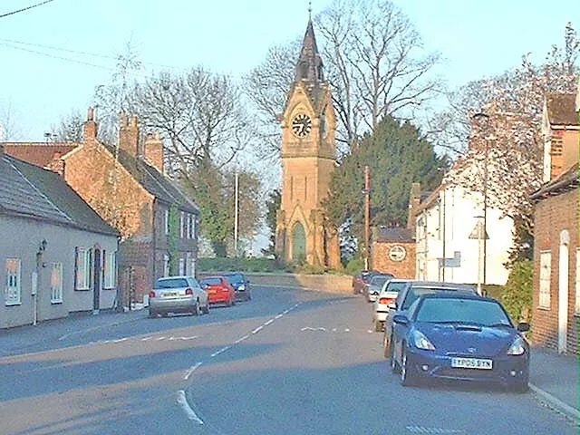
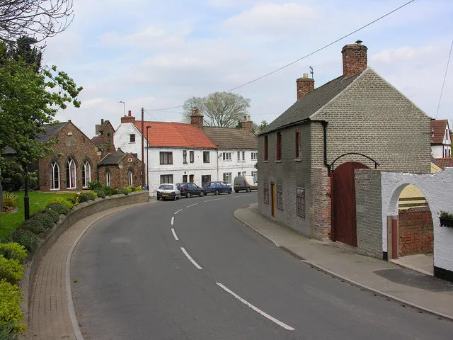
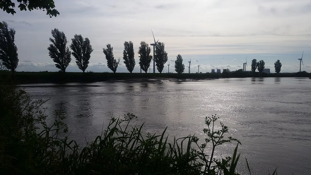
Airmyn is a village and civil parish in the East Riding of Yorkshire, England. It is situated at the mouth of the River Aire with the River Ouse, approximately 2 miles (3.2 km) north-west of Goole. It lies to the west of the M62 motorway and the A614 road. According to the 2011 UK census, Airmyn parish had aRead more
population of 768, a fall from the 2001 UK census figure of 795. The parish covers an area of 1,155.353 hectares (2,854.94 acres).
The parish was part of the Goole Rural District in the West Riding of Yorkshire from 1894 to 1974, then in Boothferry district of Humberside until 1996.
The name Airmyn derives from the river name Aire combined with the Old Norse mynni meaning 'river mouth'.
In the Middle Ages, Airmyn was a small port, and up to the 18th century its dead were taken by boat upstream to be buried at Snaith, as it was quicker to go by river than by horse and cart.
Compare prices across Booking.com, Airbnb, Expedia, and more. Select your dates to see availability.
Pick your must-haves once: provider links open pre-filtered. Each filter lists which sites it applies to.
Compare before you book!
Prices can vary significantly between platforms. We recommend checking at least 2-3 sites to find the best deal for your stay in Airmyn.
Discover famous landmarks, scenic roads, and more near Airmyn.
Within an hour or so of Airmyn: Squires Cafe Bar (27 km), York Minster (29 km), The Shambles (29 km), Humber Bridge (30 km).
The nearest famous roads are Holme Moss, Woodhead Pass and Rosedale Chimney Bank.
Airmyn is in England, United Kingdom, about 4 km from Skelton.
Road trip
Add it as a stop and the planner works out the driving, the nights and what's worth seeing on the way.
Start planningSwipe through places to go
Places within a drive of Airmyn. Keep the ones you like and add them to your trip.
Essential numbers in United Kingdom
112 also works. NHS non-emergency medical advice: 111. National Highways breakdown assistance on motorways: 0300 123 5000.
Full driving guide for United Kingdom8 notable places within an hour's drive.
cafe
One of Yorkshire's most famous biker cafes near Sherburn-in-Elmet, hosting regular bike nights and rallies.
27 km · about 30 min drive
cathedral
One of the largest Gothic cathedrals in Northern Europe, famous for its medieval stained glass.
29 km · about 35 min drive
photogenic
Medieval York street where overhanging timber-framed shops nearly touch across the lane, some dating to the 14th century. Once a row of butchers' shops; the meat-hooks and wide sill-boards survive.
29 km · about 35 min drive
bridge
Vast single-span suspension bridge over the Humber estuary near Hull: the world's longest of its kind for 16 years after opening in 1981, with a 2.2km crossing that still feels like flying over water.
30 km · about 35 min drive
cafe
Famous bikers' cafe at Fridaythorpe on the rolling B1251 through the Yorkshire Wolds, drawing hundreds of motorcycles and sports cars on summer weekends for its renowned breakfasts.
37 km · about 45 min drive
castle
A stately home in North Yorkshire, not a true castle but one of England's grandest Baroque residences, famous from Brideshead Revisited.
44 km · about 50 min drive
racetrack
The longest hillclimb course in England at 1,598 yards, climbing Yorkshire moorland on the Harewood estate with sweeping open views over Wharfedale from the spectator banks.
44 km · about 50 min drive
museum
500 acres of 18th-century parkland near Wakefield displaying open-air work by Henry Moore, Barbara Hepworth and changing international artists.
45 km · about 50 min drive
9 named roads, passes and coastal drives within 100km.
April to October
Other places to explore near Airmyn.
Your trip starts here
Pick the days, drop in the stops, and share it with whoever's coming.